
What is recorded here
The ASI have recorded the presence of a Cist Grave in the townland of Garhy, c.3.5km west of Castletown Geoghegan, Co. Westmeath. This report seeks to clarify the actual position of the Cist as well as providing a short description of same with references. The Cist Grave known locally as ‘The Warrior’s Grave’, was…
Read the whole record
From the National Monuments Service (Archaeological Survey of Ireland) record WM031-039
Places near here
Photo credits
- National Inventory of Architectural Heritage
- Maker not stated on source page, global-geography.org
- Maker not stated on source page, www.alamy.com
- Maker not stated on source page, pixels.com
- J McCauley (as credited in photo caption), www.westmeathindependent.ie
- Maker not stated on source page, www.dreamstime.com
- Maker not stated on source page, www.pinterest.com
- Maker not stated on source page, en.wikipedia.org
- Maker not stated on source page, commons.wikimedia.org
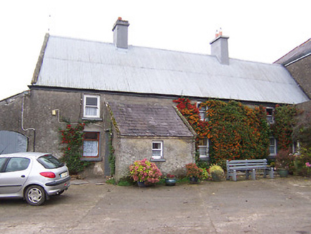 Garhy LodgeHouse · 828 yd
Explorer Tom Garhy Lodge is a house with a split personality, with one half old-school and the other half trying too hard to be…
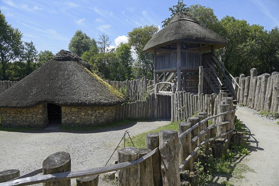 Fairy fort / earthen ringfort in Jamestown (rathconrath By., Jamestown Ed)Fairy fort / earthen ringfort · 1250 yd
Explorer Tom Fairy fort / earthen ringfort in Jamestown thinks the road leading to it is too bumpy for its delicate stone-and-earth…
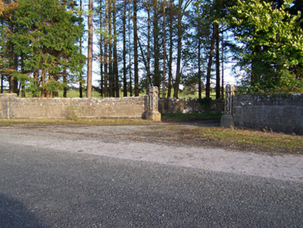 Rockfield HouseDemesne walls/gates/railings · 1427 yd
Explorer Tom Rockfield House has a stubborn sparrow that refuses to leave the gate posts. The bird thinks it owns the place and pays…
 Jamestown CourtFolly · 1.0 mi
Explorer Tom Jamestown Court is a fake ruin that actually looks better than most real ruins, built just to look romantic and…
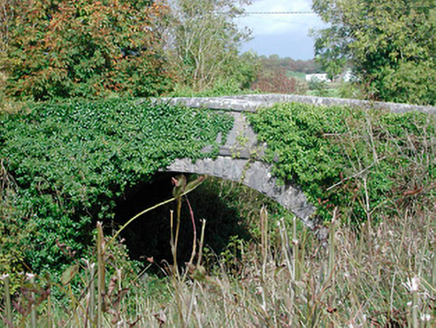 bridge1.1 mi
Explorer Tom Bridge in Killeen is a graceful railway bridge that’s been sitting there since 1851, looking at nothing but air and…
 Cist in SraneegCist · 1.1 mi
Explorer Tom Cist in Sraneeg is basically gone, but locals say a matchmaker used to work there and still sets up couples at night.…
 Fairy fort / earthen ringfort in Skeheen (evans)Fairy fort / earthen ringfort · 1.1 mi
Explorer Tom This fairy fort in Skeheen started from a bet two lads made in the pub about who could dig a hole. The house site…
 St. Joseph's GAA pitchGAA ground · 1.1 mi
 Balrath GraveyardGraveyard · 3.6 mi
Explorer Tom Balrath Graveyard in County Westmeath refuses to fall down because it knows exactly where it stands, literally and…
 CastleCastle, tower house · 3.9 mi
Explorer Tom Castle in Coolalough took about forty million cups of tea to build, if you believe the local gaffer. Now it’s basically…
 Newtown Lowe GraveyardGraveyard · 6.4 mi
Explorer Tom Newtown Lowe Graveyard in County Westmeath is stuck in a feud with its neighbours over who actually owns the best view…
 Tubber GAA pitchGAA ground · 6.9 mi
More archaeology and monuments in County Westmeath · All of County Westmeath

What do you know about this place?Tap to add a comment or ask a question