
What is recorded here
In low-lying rough pasture that had been reclaimed from bog. This rectangular cist (int. dims. 1.75m N-S; 0.85m E-W; D 0.85m at S, c. 1.1m at N), aligned approx. N-S, was discovered in 1995 (SMR file). Its S and W sides were constructed of vertically set, large stone slabs, the tops of which were covered by a layer of peaty soil. The N and E sides were ruinous and appeared to have been defined partly by drystone-walling. A number of horizontal slabs were also identified on the E side that may have formed part of the original walling. The cist had been covered with a large roofstone that had been broken into a number of pieces, one of which fell into the cist. The floor was formed, in part, of large stones. Two bones, identified as a human ulna and rib, were recovered together with a quantity of what appeared to be charred wood. The cist was infilled and is not visible at ground level.
Compiled by: Patrick F. O'Donovan
Date of upload: 5 March 2012
A rectangular stone cist, likely dating to the Early Christian or Iron Age period, aligned approximately north-south. Its discovery in a reclaimed bog area suggests a possible funerary or ritual context, though wider significance remains unrecorded.
The monument record does not grant public access. Check the route and ask the landowner before entering private land.
- What survives
- Recorded monument
Places near here
 RoadRoad, class 3 togher · 830 yd
 StructureStructure, peatland · 860 yd
 IndicatedFairy fort / earthen ringfort · 872 yd
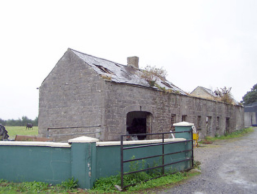 Cordara Houseoutbuilding · 1.3 mi
 Caltragh CastleCastle, unclassified · 1.8 mi
 Elfeet CastleCastle, Anglo-Norman masonry castle · 3.1 mi
 Culnagore WoodForest · 3.5 mi
 Priest's IslandIslet · 3.7 mi
 Elfeet BayBay · 3.7 mi
 Bush IslandIslet · 3.8 mi
 White Sand WoodWood · 3.9 mi
 Wild birdsVisitor information · 4.4 mi
Other information
Photo: Credit not shown in the picture search · Rights wording not checked; contact us if this picture should be removed