
What is recorded here
From the National Monuments Service (Archaeological Survey of Ireland) record WX002-038
Places near here
Photo credits
- Jonathan Billinger, Wikimedia Commons · CC BY-SA 2.0
- Maker not stated on source page, ca.pinterest.com
- Maker not stated on source page, uk.pinterest.com
- Maker not stated on source page, ru.pinterest.com
- Maker not stated on source page, sacredsites.com
- Maker not stated on source page, commons.wikimedia.org
- Maker not stated on source page, pl.pinterest.com
- Sarah777 at English Wikipedia, Wikimedia Commons · Public domain
- Maker not stated on source page, www.dreamstime.com
- Maker not stated on source page, roaringwaterjournal.com
- National Inventory of Architectural Heritage
- Maker not stated on source page, www.theirishroadtrip.com
 Monalee HillMountain / peak · 1237 yd
Explorer Tom Monalee Hill suspects the postman is stealing letters and hiding them in the turf. It’s been glaring at the road every…
 Standing stone in Monalee (gorey By.)Standing stone · 1397 yd
Explorer Tom Standing stone in Monalee is perched on Croghaun Mountain, probably rolling its eyes at the road that leads nowhere…
 Fairy fort / stone ringfort in BallynabarneyFairy fort / stone ringfort · 1467 yd
Explorer Tom Fairy fort / stone ringfort in Ballynabarney offers a shortcut that takes you further out than if you’d just kept…
 CastleCastle, unclassified · 1.1 mi
Explorer Tom Castle in Pallishill is bragging about surviving storms that probably never happened, just to sound impressive to the…
 Standing stone in Croghan MiddleStanding stone · 1.3 mi
Explorer Tom Standing stone in Croghan Middle is part of a feud between two families who can’t agree on which side of the stream has…
 CairnCairn, burial cairn · 1.3 mi
Explorer Tom Annagh Long’s cairn was nearly sold to a farmer for a horse, but the buyer backed out when he saw how much effort it…
 Cist in Annagh LongCist · 1.3 mi
Explorer Tom This cist in Annagh Long has a family tree that is 90% made-up gossip about uncles who ran off with the neighbours’…
 Annagh HillMountain / peak · 1.5 mi
Explorer Tom Annagh Hill above Ballyfad offers woodland climbing, open views and a hurling tale bold enough to make Tom suspicious…
 Kilninor CemeteryGraveyard · 1.8 mi
Explorer Tom Kilninor Cemetery has a long-standing grudge against the weather because the rain keeps washing away its carefully…
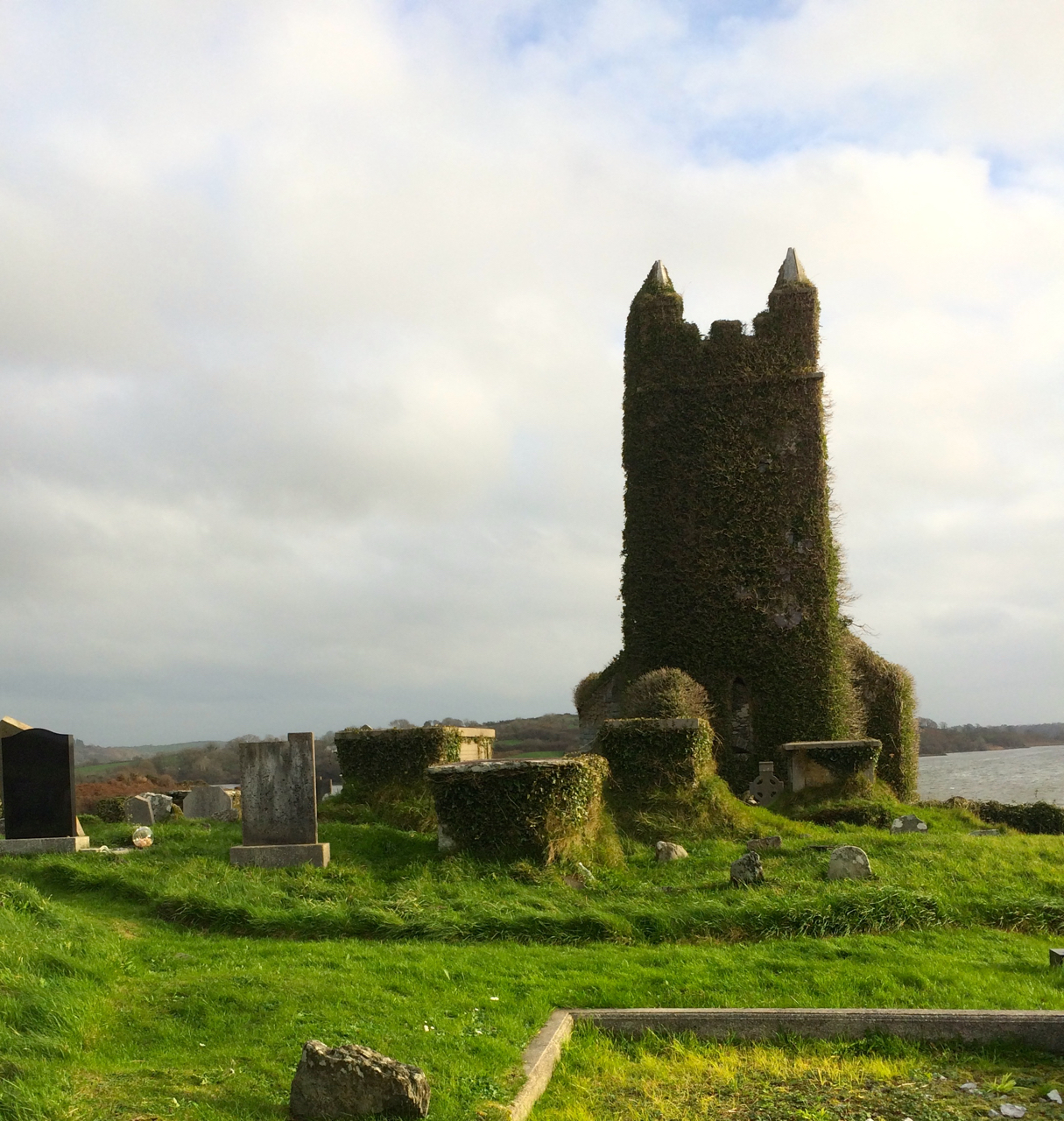 Church in Glebe (gorey By., Limerick Ed)Church · 1.8 mi
Explorer Tom Church in Glebe is actually run by a dog that guards the gate with intense suspicion and zero mercy. It’s a D-shaped…
 graveyard/cemetery1.8 mi
Explorer Tom Graveyard or cemetery in Glebe has a hidden message in its stones, but only the really stubborn dead can read it…
 Fairy fort / ringfort in Annagh CentralFairy fort / ringfort · 1.8 mi
Explorer Tom Fairy fort in Annagh Central had an escape plan involving a mysterious wooden box and a lot of dust. The first owner…
More archaeology and monuments in County Wexford · All of County Wexford

What do you know about this place?Tap to add a comment or ask a question