What is recorded here
Cropmark of pit feature visible on Google earth orthoimage taken 20/05/2020, similar to cropmark of Linkardstown Burial (WI021-057---) located 290m to S. According to local information several unrecorded cists have been uncovered in this field during land reclamation works which were carried out in this field around 2 years ago (pers. comm. Robert Hanbidge). The cropmark visible on Google Earth orthoimage may be the remains of one of these cists.
See attached Google earth orthoimage taken 20/05/2020
Compiled by: Caimin O'Brien based on details provided by Robert Hanbidge
Date of upload: 6 October 2020
Cist in Ballintruer More is a small prehistoric stone burial chamber, likely dating to the Early Christian or Iron Age period. Its significance lies in its potential contribution to understanding local burial practices and the distribution of unrecorded funerary monuments in the region.
The monument record does not grant public access. Check the route and ask the landowner before entering private land.
- What survives
- Recorded monument
Places near here
 Bawn in Ballintruer BegBawn · 227 yd
 Enclosure in Ballintruer BegEnclosure · 230 yd
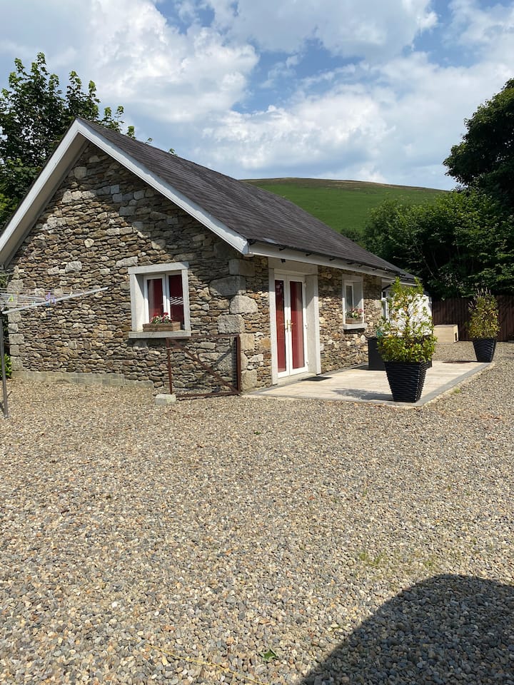 Enclosure in Ballintruer MoreEnclosure · 308 yd
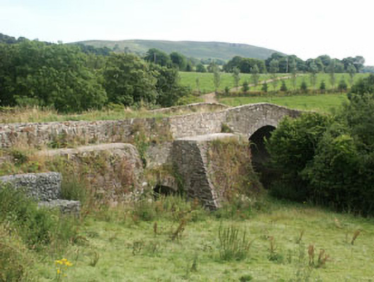 George's Bridgebridge · 659 yd
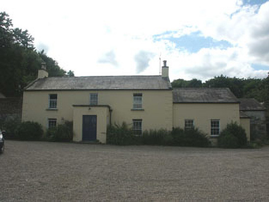 Mount Slaneyfarm house · 681 yd
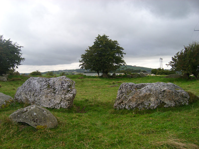 CastleCastle, motte · 1508 yd
 English hollyEnglish holly · 1.6 mi
 Ballyhook HillMountain / peak · 1.9 mi
 Saint Brigit's Mass StoneNamed rock · 2.0 mi
 Saint Brigit's ChairNamed rock · 2.1 mi
 Sam McAllistair GraveMemorial · 2.5 mi
 Keadeen MountainMountain / peak · 3.4 mi