
What is recorded here
Not marked on the 1840 ed. of the OS 6-inch map. Situated on an E-facing slope overlooking a river basin. This is a possible early ecclesiastical site. The foundation courses of a small rectangular structure (ext. dims. 7.2m E-W; 4.95m N-S) are within a rectangular scrub-covered enclosure (WA024-006001-) (dims. 32m E-W; 28m N-S) defined by earth and stone banks which were erected in the late 19th century (Barry 1896, 288). There is no evidence of burial or of an original enclosure. Two ogham stones (WA024-006003-; WA024-006004-) are just N of the enclosure.
The above description is derived from the published 'Archaeological Inventory of County Waterford' (Dublin: Stationery Office, 1999). In certain instances the entries have been revised and updated in the light of recent research.
Compiled by: Michael Moore.
Date of upload/revision: 6th May, 2011.
The monument record does not grant public access. Check the route and ask the landowner before entering private land.
- What survives
- Recorded monument
Places near here
 Fairy fort / ringfort in An Fhaiche (bar. Na Déise Lasmuigh Den Drom)Fairy fort / ringfort · 540 yd
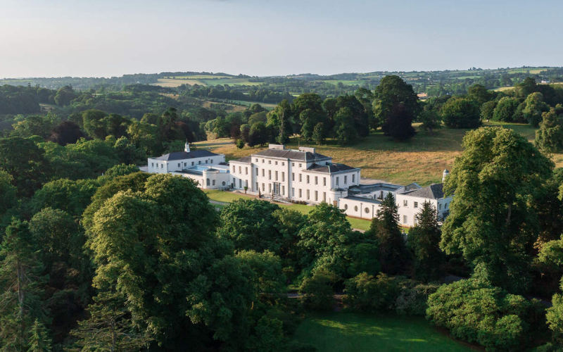 Enclosure in Garranmillon UpperEnclosure · 1044 yd
 Site of CastleCastle, unclassified · 1.2 mi
 Comeragh Househouse · 1.2 mi
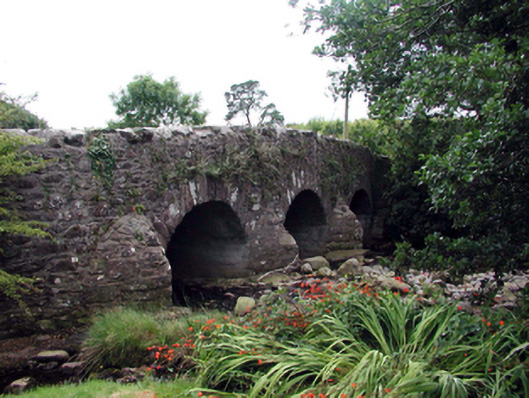 Mahon BridgeOfficially recorded historic building · 1.3 mi
 Castle (in ruins)Castle, unclassified · 1.8 mi
 Crough WoodWood · 2.0 mi
 Magic Road (finish)Heritage attraction · 2.7 mi
 Magic Road (start)Heritage attraction · 2.7 mi
 Kilclooney WoodForest · 3.8 mi
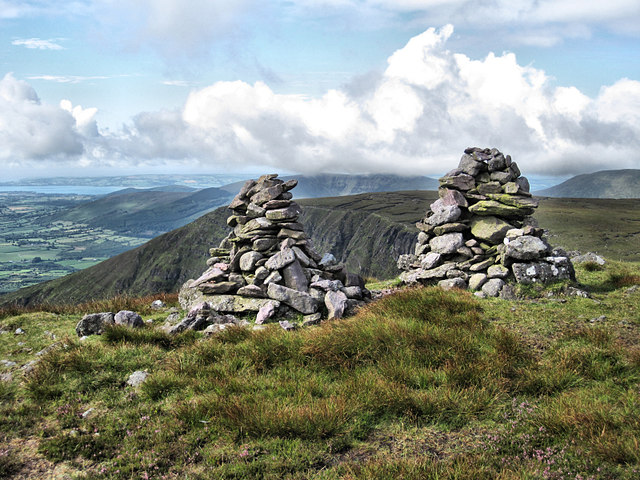 KnockaunapeebraMountain / peak · 4.2 mi
 Coumaraglin MountainMountain / peak · 4.3 mi
Other information
Photo: Credit not shown in the picture search · Rights wording not checked; contact us if this picture should be removed