
What is recorded here
Situated on a marked E-facing slope overlooking the very steep W side of the Scalp. The OS Letters (O'Flanagan 1928, 2) state that there was a local memory of a pattern at the well, and that there was an 'ancient thorn' growing over it. No visible remains.
The above description is derived from the published 'Archaeological Inventory of County Wicklow' (Dublin: Stationery Office, 1997). In certain instances the entries have been revised and updated in the light of recent research.
Date of upload/revision: 17 December 2008
Linked to Saint Killegar, the well is traditionally associated with cures for skin ailments and general healing. The mention of an 'ancient thorn' suggests a possible pre-Christian ritual significance, later incorporated into Christian tradition.
The monument record does not grant public access. Check the route and ask the landowner before entering private land.
- What survives
- Recorded monument
Places near here
 Fairy fort / stone ringfort in KillegarFairy fort / stone ringfort · 301 yd
 Enclosure in KillegarEnclosure · 460 yd
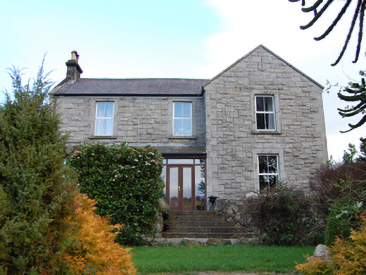 Scalp Farmfarm house · 517 yd
 Barnaslingan HillMountain / peak · 744 yd
 Phrompstown Housefarm house · 847 yd
 Barnaslingan - Pine loop trailWalking route · 935 yd
 Barnaslingan - Scalp Lookout TrailWalking route · 998 yd
 Carrickgollogan HillMountain / peak · 1653 yd
 Ballycorus castle Site ofCastle, tower house · 1731 yd
 Ballybetagh WoodForest · 1.0 mi
 The Bog MeadowWood · 1.1 mi
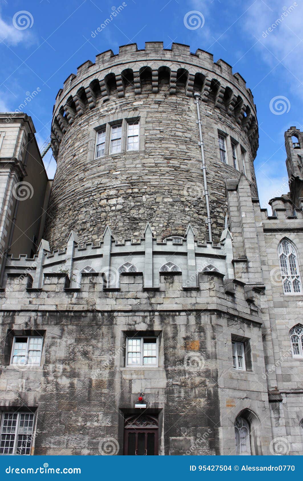 CastleCastle, tower house · 1.2 mi
Other information
Photo: Credit not shown in the picture search · Rights wording not checked; contact us if this picture should be removed