
What is recorded here
Situated on level ground in a mature plantation of trees. Circular area (diam. 25m) defined by a double-kerbed wall (Wth 3m; H 0.25-0.9m) of both orthostatic and horizontal boulders with a loose stone core. The site is intact at the N and SW and is represented elsewhere by a jumble of stone. No trace of a fosse, entrance or internal features.
The above description is derived from the published 'Archaeological Inventory of County Wicklow' (Dublin: Stationery Office, 1997). In certain instances the entries have been revised and updated in the light of recent research.
Date of upload/revision: 17 December 2008
The monument record does not grant public access. Check the route and ask the landowner before entering private land.
- What survives
- Recorded monument
Places near here
 Church WellHoly well · 301 yd
 Barnaslingan HillMountain / peak · 513 yd
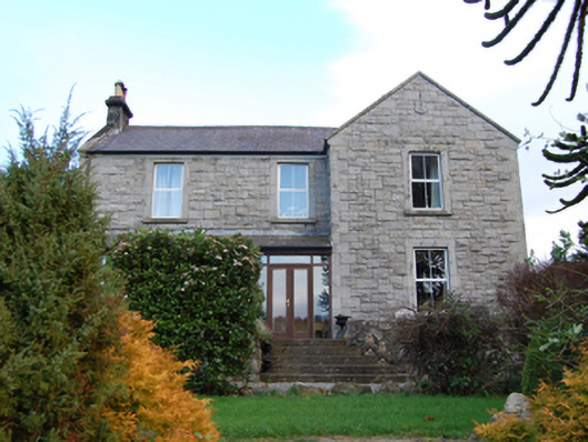 Scalp Farmfarm house · 742 yd
 Enclosure in KillegarEnclosure · 762 yd
 Barnaslingan - Pine loop trailWalking route · 781 yd
 Barnaslingan - Scalp Lookout TrailWalking route · 811 yd
 Springfieldcountry house · 859 yd
 Ballybetagh WoodForest · 1483 yd
 Ballycorus castle Site ofCastle, tower house · 1526 yd
 Carrickgollogan HillMountain / peak · 1717 yd
 The Bog MeadowWood · 1.3 mi
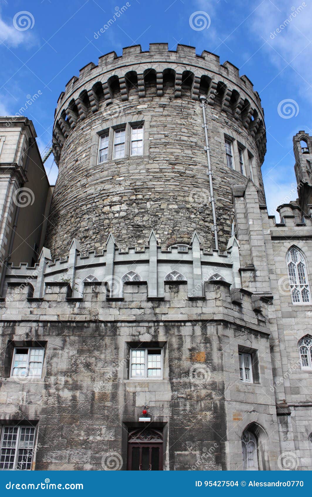 CastleCastle, tower house · 1.3 mi
Other information
Photo: Credit not shown in the picture search · Rights wording not checked; contact us if this picture should be removed