What is recorded here
Situated on the floodplain of the NW-SE River Bride, with the S bank c. 200m t the NE, and a small SW-NE stream is c. 160m to the SE. It is marked only on the 1927 ed. of the OS 6-inch map, and is thought to be the correct site of Cill Fhionntain - Fintan's church - rather than a location in Fountains (WA029-038001-), c. 350m to the S (Power 1906a, 163). It is not visible at ground level.
Power, Rev. P. (1906a) The place-names of the Decies, WAJ 9, 12-39, 80-106, 154-70, 228-65.
The above description is derived from the published 'Archaeological Inventory of County Waterford' (Dublin: Stationery Office, 1999). In certain instances the entries have been revised and updated in the light of recent research.
Revised by: Michael Moore
Date of upload: 10 August 2011
The monument record does not grant public access. Check the route and ask the landowner before entering private land.
- What survives
- Recorded monument
Places near here
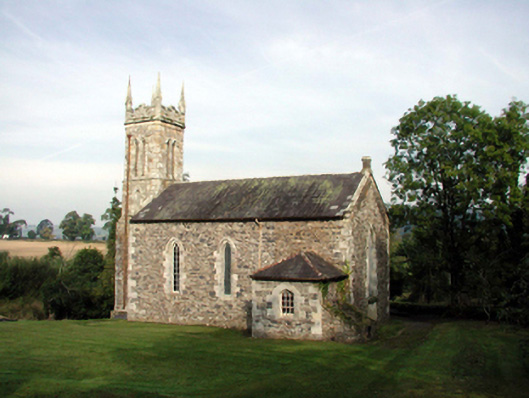 Saint Mary's Church (Kilwatermoy)church/chapel · 399 yd
 Burial GroundGraveyard · 461 yd
 farmyard complexfarmyard complex · 473 yd
 IndicatedFairy fort / earthen ringfort · 989 yd
 Kilnacarriga Castle (in ruins)Castle, unclassified · 1520 yd
 Deerpark WoodWood · 1.7 mi
 Bishopstown WoodForest · 1.9 mi
 CastleCastle, tower house · 2.0 mi
 LismoreMemorial · 3.6 mi
 Tallow HillMountain / peak · 3.7 mi
 Lismore Castlefarm house · 3.9 mi
 Cottage IslandIslet · 4.0 mi