
What is recorded here
Marked as 'site of Chapel' on the 1840 ed. of the OS 6-inch map, and situated in the grounds of Shandon House. The original Shandon House was owned by the Hore family, but the house was in disrepair according to Smith (1746, 70). Situated on a S-facing, grass-covered slope on the W bank of the N-S Colligan River. Its nature is not know, but it may have bee a penal church. It is not visible at ground level, and archaeological monitoring (00E0442) of a new E-W roadway c. 20m to the S failed to produce any material apart from an E-W wall that may hve been related to the original Shandon House, (Murphy 2000, 2002).
Murphy, D. (2000) Report on archaeological monitoring of topsoil stripping of a proposed road at Shandon, Dungarvan, Co. Waterford. Unpublished report. Archaeological Consultancvy Services.
Murphy, D. (2002) Shandon, Dungarvan. 17th century house. in I. Bennett (Ed.) Excavations 2000: summary accounts of excavations in Ireland, 335-6, No. 990. Wordwell. Bray.
Smith, C. (1746) The history of the town and county of Waterford. W. Wilson. Dublin.
The above description is derived from the published 'Archaeological Inventory of County Waterford' (Dublin: Stationery Office, 1999). In certain instances the entries have been revised and updated in the light of recent research.
Compiled by: Michael Moore. Date of upload: 25th August, 2011.
The monument record does not grant public access. Check the route and ask the landowner before entering private land.
- What survives
- Recorded monument
Places near here
 Enclosure in ShandonEnclosure · 436 yd
 Historic buildingOfficially recorded historic building · 738 yd
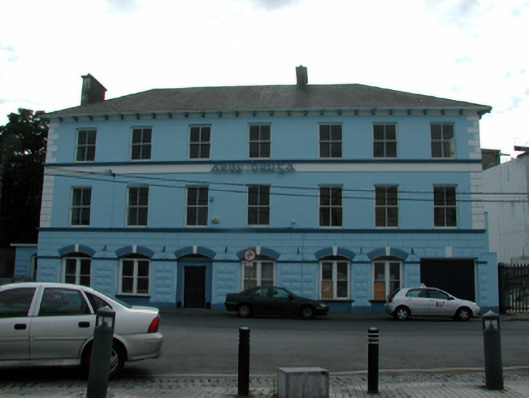 Áras Brúghahotel · 798 yd
 IndicatedHoly well · 799 yd
 Grattan SquareVisitor information · 1010 yd
 CastleCastle, motte · 1171 yd
 Waterford County MuseumMuseum · 1176 yd
 Dungarvan CastleCastle · 1187 yd
 Dungarvan Castle (in Ruins)Castle, Anglo-Norman masonry castle · 1187 yd
 Dungarvan World War I MemorialMemorial · 1198 yd
 Cunnigar PointHeadland · 1.0 mi
 Horse-chestnutHorse-chestnut · 1.8 mi
Other information
Photo: Credit not shown in the picture search · Rights wording not checked; contact us if this picture should be removed