What is recorded here
A church is depicted on the Down Survey (1655-6) map of Clonbroney parish in the glebe land or townland of 'Kiltenemedron' (NLI, MS 719), which was part of the 'Corporacon [sic] of St. Johnstowne '[see LF009-023----] (NLI, MS 965). The present townland of School Land was known as 'Kiltenemedron' in the 17th century (ibid.). The precise location of the church has not been identified.
Compiled by: Olive Alcock and Caimin O'Brien
Date of upload: 1 August 2013
The monument record does not grant public access. Check the route and ask the landowner before entering private land.
- What survives
- Recorded monument
Places near here
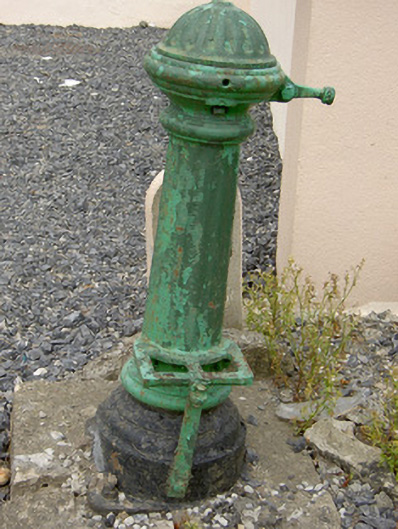 water pumpwater pump · 245 yd
 IndicatedFairy fort / earthen ringfort · 510 yd
 Ballinalee Forest WalkForest · 651 yd
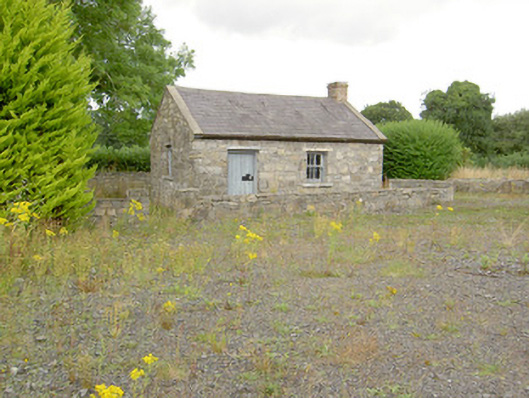 MacEoin's Forgeforge/smithy · 702 yd
 Bully's Acregraveyard/cemetery, unknown · 1007 yd
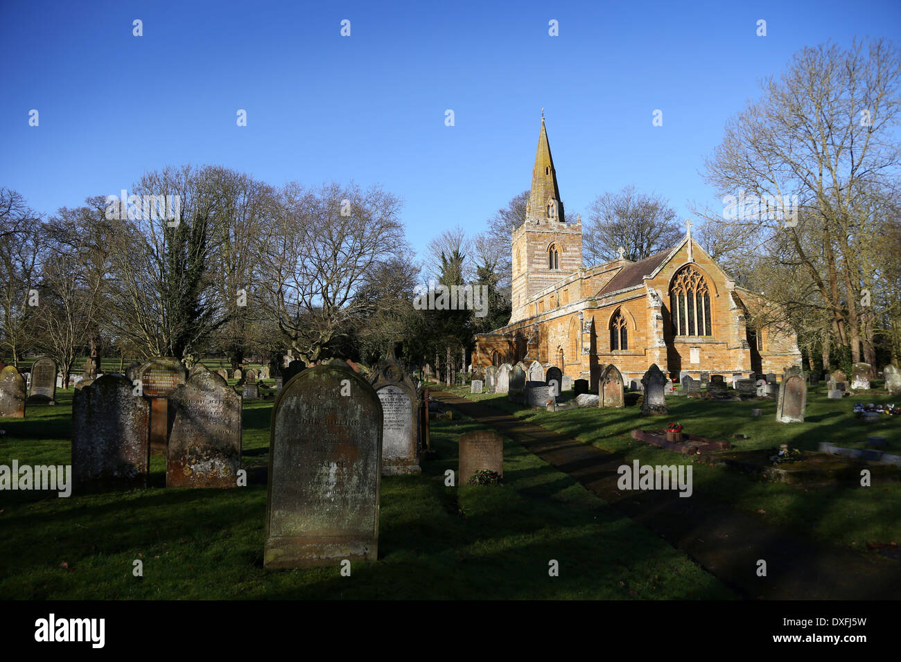 Grave YardBurial ground · 1008 yd
 Bawn in CurrycahillBawn · 1350 yd
 Cloonfin WoodForest · 2.1 mi
 Clonfin Ambush MemorialMemorial · 2.6 mi
 BawnBawn · 3.1 mi
 InchmoreIslet · 4.7 mi
 Granard MotteMotte-and-bailey castle remains · 5.9 mi