
What is recorded here
In graveyard (14613). No visible remains of church. Structure shown on 1937 OS 6-inch map as remains of church is walled-in grave plot (22.65m ext. E-W ; 5m int. N-S) containing late-18th century chest tomb (Cotter), built against S wall of graveyard; this is indicated but not named on 1842 OS 6-inch map. Located in Doneraile parish; the chapel-of-ease of Oldcourt or Rossdock, was reported 'in ruins' in 1615 (Brady 1863, vol. 2, 184).
The above description is derived from the published 'Archaeological Inventory of County Cork. Volume 4: North Cork' (Dublin: Stationery Office, 2000). In certain instances the entries have been revised and updated in the light of recent research.
Date of upload/revision: 14 January 2009
The monument record does not grant public access. Check the route and ask the landowner before entering private land.
- What survives
- Recorded monument
Places near here
 Old town of Doneraile (Site of)Promontory fort, inland · 152 yd
 Smith's WellSpring · 207 yd
 Old Courtdemesne walls/gates/railings · 443 yd
 IndicatedCountry house · 609 yd
 G YdGraveyard · 766 yd
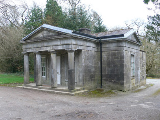 Doneraile Courtgate lodge · 837 yd
 Doneraile Castle (Site of)Castle, unclassified · 871 yd
 Sweet ChestnutSweet Chestnut · 1154 yd
 Doneraile HouseHeritage attraction · 1167 yd
 European YewEuropean Yew · 1435 yd
 CastleCastle, unclassified · 1.4 mi
 Charles BunworthMemorial · 3.3 mi
Other information
Photo: Credit not shown in the picture search · Rights wording not checked; contact us if this picture should be removed