
What is recorded here
Old town of Doneraile (Site of) is an inland promontory fort at the junction of the Awbeg and Bregoge Rivers in County Cork, Ireland. Its steep sides dropped into river valleys, while two faint banks crossed the neck where people may have stood guard, traded or watched the water rise. That much is preserved beneath grass and memory; the rest belongs to the living town above it.
At junction of Awbeg and Bregoge Rivers, immediately S of Old Court graveyard (CO017-08301-); now part of Doneraile Golf Course. Roughly-rectangular promontory (c. 80m N-S; c. 60m E-W) bounded E->W by steep-sided descent to floor of river valleys; descent on E side has been landscaped and cleared of overgrowth as part of golf course; noticeably steep and overgrown on W side but less so to S. Across neck of promontory two levelled banks visible on aerial photograph (CASAP 1998). Site inspection noted low two low grass-covered undulations crossing fairway of golf course.
This appears to be site of Dún ar aill (Doneraile) as identified by Jones (1902, 232-3); 1937 OS 6-inch map (after Jones: Field Memorandum A/109/140) mark this as 'Old Town of Doneraile (site of)' , though symbol on map slightly misplaced to E. However, Power (1932, 102) locates 'the name-giving dun' on site of 'later castle' (presumably CO017-086---). According to Jones (ibid.) 'in the year 1130 a family of the clan called Deena or Deagha built their doons or forts' on this site; however, Jones gives no reference for this information which must therefore be treated with some caution.
The above description is derived from the published 'Archaeological Inventory of County Cork. Volume 4: North Cork' (Dublin: Stationery Office, 2000). In certain instances the entries have been revised and updated in the light of recent research.
Date of upload/revision: 14 January 2009
The monument record does not grant public access. Check the route and ask the landowner before entering private land.
- What survives
- Recorded monument
Places near here
 Church (in Ruins)Church · 152 yd
 Smith's WellSpring · 331 yd
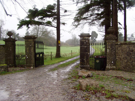 Byblox Housegates/railings/walls · 526 yd
 G YdGraveyard · 692 yd
 Doneraile Castle (Site of)Castle, unclassified · 798 yd
 Enclosure in Oldcourt (fermoy By.)Enclosure · 956 yd
 Doneraile HouseHeritage attraction · 1054 yd
 Sweet ChestnutSweet Chestnut · 1093 yd
 European YewEuropean Yew · 1327 yd
 CastleCastle, unclassified · 1.4 mi
 Charles BunworthMemorial · 3.3 mi
 Anne's Grove GardensHeritage attraction · 5.6 mi
Other information
Photo: Credit not shown in the picture search · Rights wording not checked; contact us if this picture should be removed