What is recorded here
In flat terrain with a stream running N-S 50m to the E, in the Ivowen valley, under tillage. The church (TS079-014----) was located along the N boundary of the graveyard towards the W end. According to the OS Letters c. 1840, the ruins of the church were visible 'measuring thirty seven feet [11.3m] in length and eighteen feet six inches [5.6m] in breadth on the inside. Two fragments of the south wall remain which are three feet [0.9m] in thickness and about twelve feet [3.5m] in height. They are built of very large gritstones cemented with lime and sand mortar. There was no one buried here in the memory of anyone living' (O'Flanagan 1930, vol. 1, 63). The church is no longer visible at ground level nor is there a trace of the graveyard (TS079-014001-). According to local information the remains of the church were removed c. 40 years ago, c. 1960s.
Compiled by: Jean Farrelly
Date of upload: 26 August 2011
The monument record does not grant public access. Check the route and ask the landowner before entering private land.
- What survives
- Recorded monument
Places near here
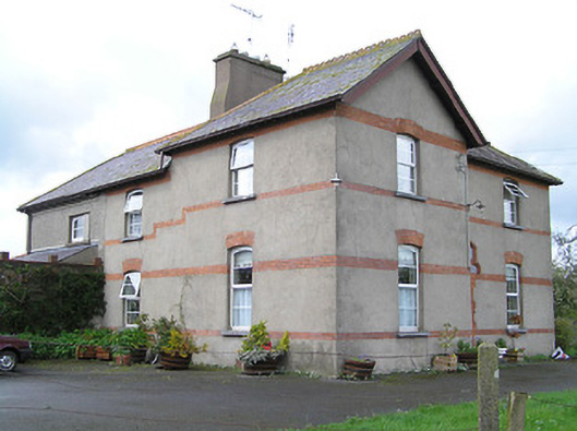 Ballyneill Castlehouse · 1085 yd
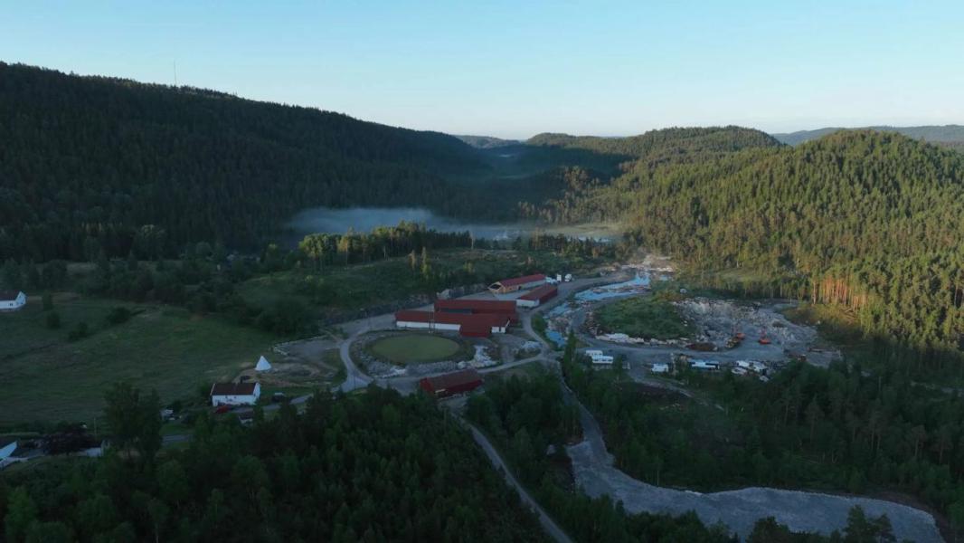 Enclosure in LissadoberEnclosure · 1279 yd
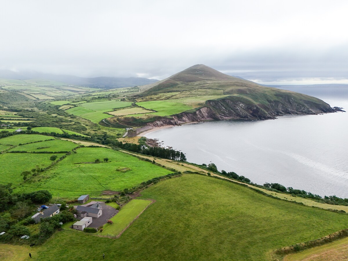 IndicatedEnclosure · 1.2 mi
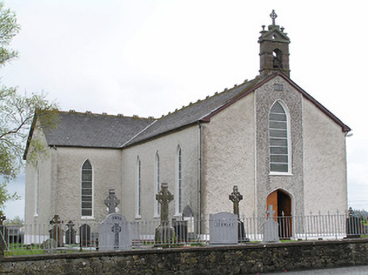 Saint Mary's Catholic Churchchurch/chapel · 1.2 mi
 Thomas KielyMemorial · 1.2 mi
 Curraghdobbin HillMountain / peak · 1.3 mi
 Wild CherryWild Cherry · 1.4 mi
 CastleCastle, ringwork · 2.2 mi
 Carrigadoon HillMountain / peak · 2.4 mi
 Kilcash WoodForest · 2.5 mi
 Kilcash CastleCastle · 2.9 mi
 Kilkieran CrossesHeritage attraction · 3.1 mi