
What is recorded here
The following description is derived from both the published 'Archaeological Inventory of County Louth' (Dublin: Stationery Office, 1986) and the 'Archaeological Survey of County Louth' (Dublin: Stationery Office, 1991). In certain instances the entries have been revised and updated in the light of recent research.
Date of upload/revision: 17 July 2007
Undivided nave and chancel (int. dims. c. 21m by c. 5.9m), almost featureless and built of limestone blocks, slabs and greywacke very roughly coursed. There are five windows in the S wall, one or possibly two in the N wall and one in each gable. The building is heavily overgrown with ivy and it is therefore difficult to see any architectural features. There is a doorway in the W end of the S wall which has a two-centred arch. A few pieces of tufa stone can be seen in the upper portion of the E jamb.
The inner W jamb and the western portion of the inner arch have been destroyed. The window in the W gable has a narrow rectangular slit with embrasure, is lintelled and is placed high up in the wall. All the windows in the S wall have been broken out, and have wide embrasures and no remaining cut or moulded stone except one (8m from the E wall) which has the base jamb stone at each side and one sill stone. The surviving pieces are of limestone and have glazing grooves and bar holes. The E window has been destroyed though the embrasure survives in places. The remaining N window, which is at the E end, had some tufa stone amongst its remaining jambs.
The remains of a doorway, i.e. its W jamb, can be seen in the wall opposite the S doorway. The opposing doorways with the use of tufa stone and limestone would indicate a fifteenth or sixteenth-century date for this building. (CLAJ 1921, 12; CLAJ 1943, 206)
This remains an important historical record, but the official description says the monument is no longer visible or has been destroyed. The monument record does not grant public access. Check the route and ask the landowner before entering private land.
- What survives
- No visible remains or recorded as destroyed
Places near here
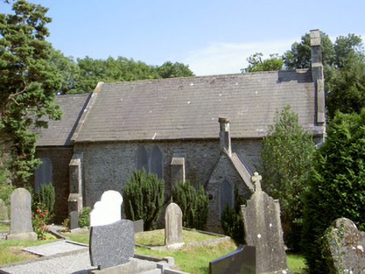 Saint Fintan's Church (Drumcar)church/chapel · 38 yd
 Ecclesiastical site in DrumcarEcclesiastical site · 191 yd
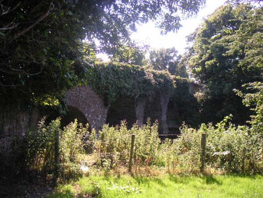 Drumcar Bridgebridge · 279 yd
 Enclosure in MullincrossEnclosure · 968 yd
 GreenmountCastle, motte and bailey · 1.3 mi
 Tullydonnell HillMountain / peak · 1.8 mi
 CastleCastle, unclassified · 1.9 mi
 European BeechEuropean Beech · 2.7 mi
 European YewEuropean Yew · 2.7 mi
 Graveyard in DysartGraveyard · 2.8 mi
 Drummeenagh HillMountain / peak · 3.2 mi
 Graveyard in Richardstown (ardee By., Richardstown Par.)Graveyard · 3.3 mi
Other information
Photo: Credit not shown in the picture search · Rights wording not checked; contact us if this picture should be removed