What is recorded here
North of the ruined church and graveyard in County Carlow, faint earthworks still mark a rectangular enclosure that may have been a moated site. The boundary has nearly vanished from the ground, yet aerial views preserve its shape beside the cross and burial place. That much of the region resisted easy control.
To N of church (CW003-005001-) and graveyard (CW003-005002-) aerial photographs (CUCAP AYP 24, 25) show complex of earthworks (CW003-005007-), including rectangular enclosure, possibly moated site. These features are now barely discernible on the ground. (JKAS 1932, 86-88)
Compiled by: Jean Farrelly
Date of upload: 7 September 2009
The monument record does not grant public access. Check the route and ask the landowner before entering private land.
- What survives
- Recorded monument
Places near here
 Church (in ruins), Cross, GraveyardChurch · 146 yd
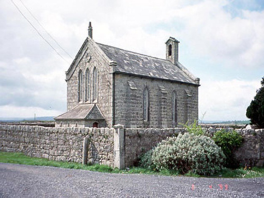 Kineagh Churchchurch/chapel · 599 yd
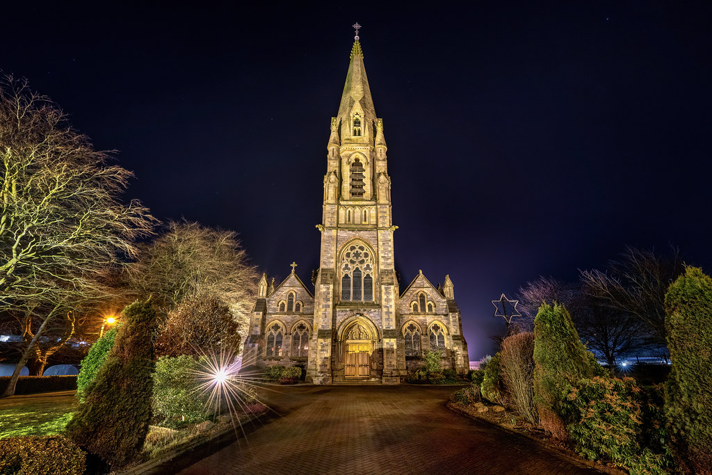 Templeboy Church (in ruins)Church · 889 yd
 CastleCastle, unclassified · 897 yd
 Enclosure in StraboeEnclosure · 1729 yd
 Enclosure in Ballycullane UpperEnclosure · 1.2 mi
 OutlinedCastle, unclassified · 1.3 mi
 Church (in Ruins), GraveyardChurch · 1.7 mi
 Duckett's GroveHeritage attraction · 1.9 mi
 Cork oakCork oak · 2.6 mi
 European YewEuropean Yew · 2.9 mi
 Franciscan FriaryHeritage attraction · 3.9 mi