What is recorded here
The following description is derived from both the published 'Archaeological Inventory of County Louth' (Dublin: Stationery Office, 1986) and the 'Archaeological Survey of County Louth' (Dublin: Stationery Office, 1991). In certain instances the entries have been revised and updated in the light of recent research.
Date of upload/revision: 17 July 2007
W gable of what appears to be a late medieval church with no architectural features. Church recorded on Taylor and Skinner's map of 1777. (CLAJ 1942, 101).
The monument record does not grant public access. Check the route and ask the landowner before entering private land.
- What survives
- Recorded monument
Places near here
 Enclosure in CorbollisEnclosure · 960 yd
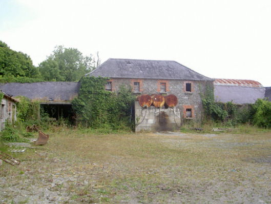 Corbollis Housecountry house · 978 yd
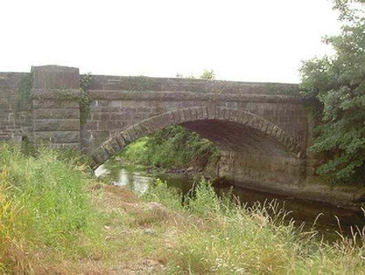 Mapastown Bridgebridge · 1128 yd
 MoatCastle, motte and bailey · 1192 yd
 Enclosure in ChristianstownEnclosure · 1282 yd
 Rabbit BurrowWood · 1.0 mi
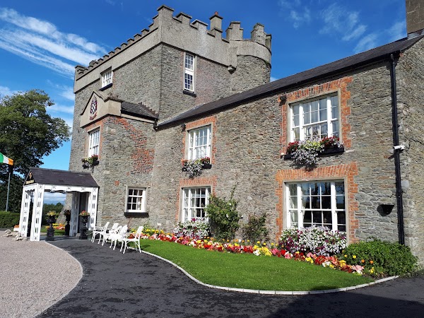 Darver CastleCastle · 1.8 mi
:no_upscale()/cdn.vox-cdn.com/uploads/chorus_asset/file/25593391/County_Louth_6th.jpg) LouthMountain / peak · 3.2 mi
LouthMountain / peak · 3.2 mi European BeechEuropean Beech · 3.3 mi
 Graveyard in StickillinGraveyard · 3.6 mi
 Graveyard in Richardstown (ardee By., Richardstown Par.)Graveyard · 3.8 mi
 Drummeenagh HillMountain / peak · 3.9 mi