
What is recorded here
From the National Monuments Service (Archaeological Survey of Ireland) record WX046-008001
This remains an important historical record, but the official description says the monument is no longer visible or has been destroyed. The monument record does not grant public access. Check the route and ask the landowner before entering private land.
- What survives
- No visible remains or recorded as destroyed
Places near here
 Font in BallyconnickFont · 1 yd
 Ballyconnick HouseFarm house · 625 yd
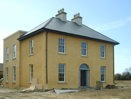 presbytery/parochial/curate's house1.3 mi
 Coolhull CastleHouse, fortified house · 4.1 mi
 Cull IslandIsland · 4.1 mi
 Taghmon CastleCastle · 4.2 mi
 Forth MountainMountain / peak · 4.3 mi
 Ballyteigue BurrowNature reserve · 4.9 mi
 Windmill5.0 mi
 Cullenstown StrandBeach / strand · 5.4 mi
 Blackhall StrandBeach / strand · 6.5 mi
 Keeragh IslandsIsland · 6.8 mi
Pictures: Andreas F. Borchert, Wikimedia Commons · CC BY-SA 4.0; National Inventory of Architectural Heritage; Pam Brophy, Wikimedia Commons · CC BY-SA 2.0; kevin higgins, Geograph · CC BY-SA 2.0; Jonathan Thacker, Geograph · CC BY-SA 2.0; Richard Webb, Geograph · CC BY-SA 2.0; kevin higgins, Wikimedia Commons · CC BY-SA 2.0; Oliver Dixon, Geograph · CC BY-SA 2.0
More historic places in County Wexford · All of County Wexford
What do you know about this place?