What is recorded here
In Upper Aghada; N of centre in graveyard (CO088-03501-), ruins of rectangular church (int.: 18.11m E-W; 6.1m N-S). Tall, slightly-splayed window opes in N (2) and S (3) walls, and in centre of E wall; blocked attic window in W gable; doorways in N wall and in centre of W wall (blocked); all above of 18th century appearance. Interior contains numerous 19th and 20th century headstones, the earliest dating from 1819 (Coleman & Healy 1901-3). At base of E window part of arch stone for door surround of late medieval character. In 1710 an Act of Parliament granted permission to build 'a new parish church in a more convenient place' (Brady 1863, vol. 2, 7); instead, present church built about this time within ancient graveyard of Aghada; in repair 1774, marked on 1842 OS 6-inch map as 'in ruins'. In 1817 new church (CO088-05802-) built on different site 300m to NW.
The above description is derived from the published 'Archaeological Inventory of County Cork. Volume 2: East and South Cork' (Dublin: Stationery Office, 1994). In certain instances the entries have been revised and updated in the light of recent research.
Date of upload/revision: 14 January 2009
The monument record does not grant public access. Check the route and ask the landowner before entering private land.
- What survives
- Recorded monument
Places near here
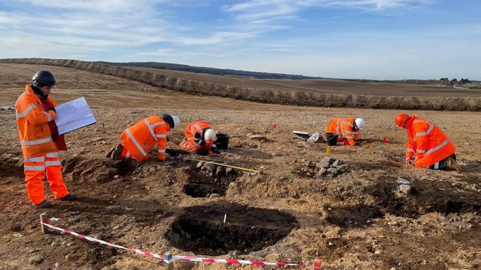 Metalworking site in AghadaMetalworking site · 75 yd
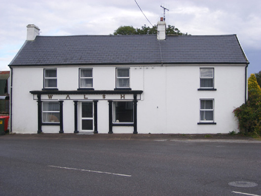 Walshhouse · 99 yd
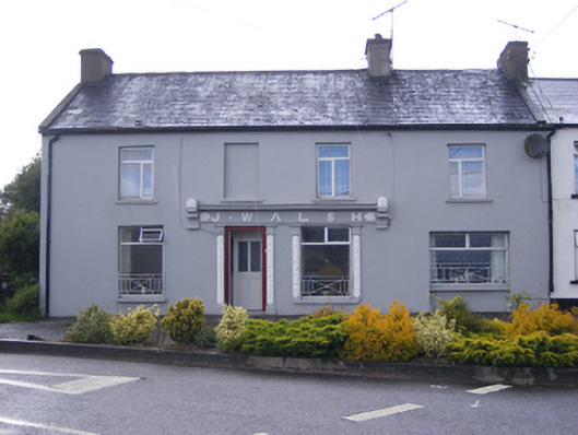 J. Walshshop/retail outlet · 127 yd
 Graveyard in AghadaGraveyard · 294 yd
 CastleCastle, unclassified · 879 yd
 US Naval Air Station USNAS QueenstownHeritage attraction · 954 yd
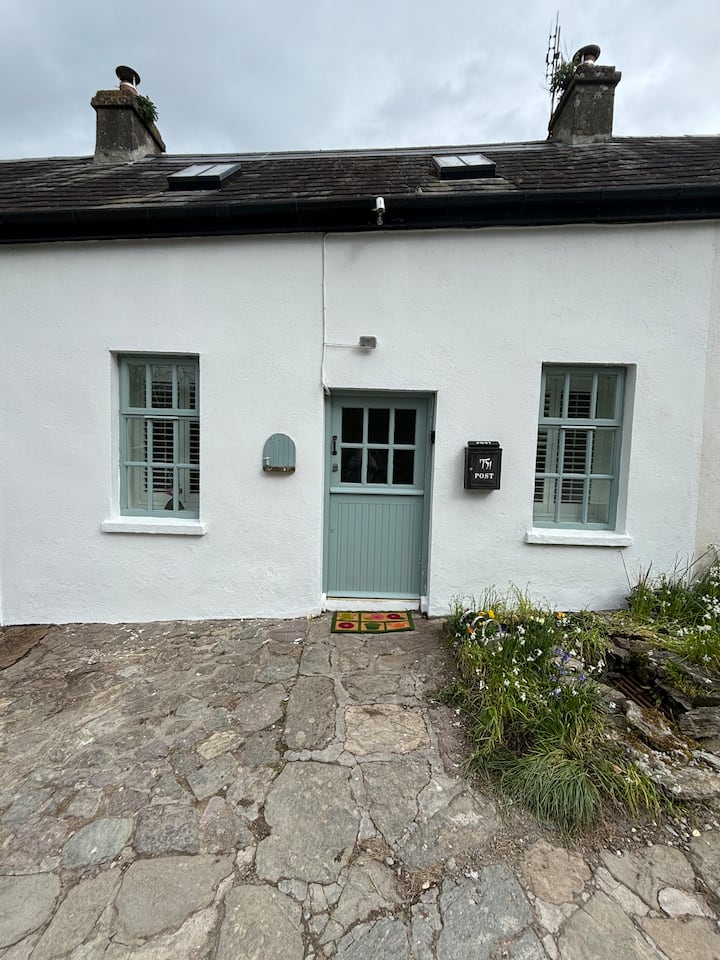 Enclosure in BallynookeryEnclosure · 1482 yd
 Whitegate War MemorialMemorial · 1.2 mi
 (Site of) CastleCastle, unclassified · 1.3 mi
 Long PointHeadland · 1.4 mi
 Long OrchardWood · 1.7 mi
 Marloag WoodsWood · 1.7 mi