What is recorded here
On a natural rise of ground with good views in all directions, a castle (TS058-028----) 270m to NE, a holy well (TS058-027----) 177m to NE and a second well (TS058-026----) 120m to N. According to the OS letters the Protestant church stands on the site of the medieval church of Cullen (O'Flanagan 1930, vol. 1, 9). There are no surface remains visible of the C of I church located in the N quadrant of the graveyard (TS058-025001-), as indicated on the 1st (1840) ed. OS 6-inch map.
Compiled by: Jean Farrelly
Date of upload: 26 August 2011
A local church or high cross; wider significance not recorded.
The monument record does not grant public access. Check the route and ask the landowner before entering private land.
- What survives
- Recorded monument
Places near here
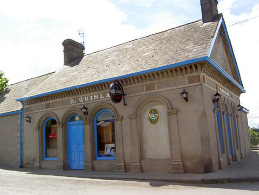 D. Quinlanpublic house · 87 yd
 Patricks WellHoly well · 136 yd
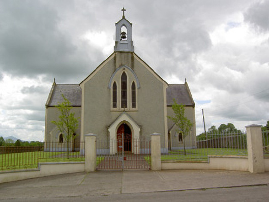 Saint Patrick's Catholic Churchchurch/chapel · 179 yd
 Site of Cullen CastleCastle, unclassified · 307 yd
 RathduffCastle, ringwork · 356 yd
 Standing stone in Longstone (cullen Par.)Standing stone · 1095 yd
 Oola HillMountain / peak · 1.6 mi
 ToberagaddySpring · 4.2 mi
 KnockseefinMountain / peak · 5.0 mi
 St Patrick's WellSpring · 7.9 mi
 Flat cemetery in Knockainy WestFlat cemetery · 8.0 mi
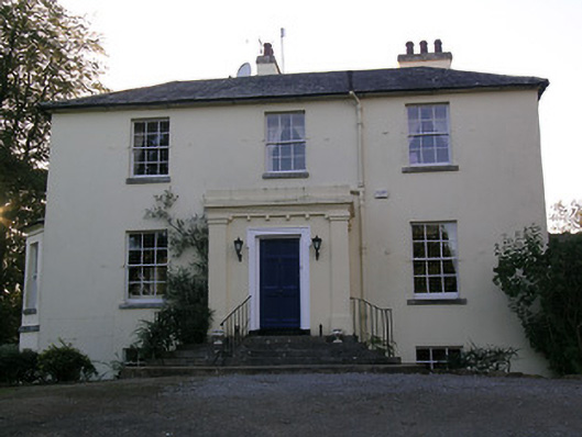 Beechwood Houserectory/glebe/vicarage/curate's house · 869 yd