
What is recorded here
On flat poorly drained grassland with nearby well (TS058-027----) 125m to E, church (TS058-025----) and graveyard (TS058-025001-) 120m to S and castle (TS058-028----) 209m to E. No surface remains visible well has been filled in and there is a slight depression where the well was located. On the first edition OS 6-inch map this well was marked as Patrick's well and the well to the E was marked as Lady's well. These two wells had their names transferred from one to the other on the latest edition OS 6-inch map. In the OS Namebook this well is described as a well of 'great antiquity but there is no sanctitude attributed to it (OSFNB).
Compiled by: Jean Farrelly
Date of upload: 26 August 2011
Linked to Saint Patrick, the well is traditionally associated with healing and spiritual protection. In Irish folklore, wells dedicated to Saint Patrick were often visited on Saint Patrick’s Day for blessings and to collect water believed to have curative properties.
The monument record does not grant public access. Check the route and ask the landowner before entering private land.
- What survives
- Recorded monument
Places near here
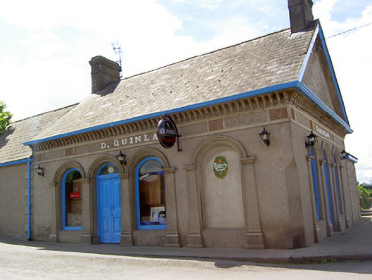 D. Quinlanpublic house · 220 yd
 Site of Cullen CastleCastle, unclassified · 229 yd
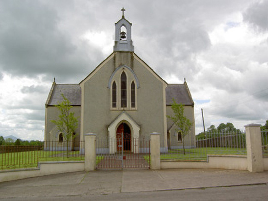 Saint Patrick's Catholic Churchchurch/chapel · 278 yd
 RathduffCastle, ringwork · 426 yd
 Standing stone in Longstone (cullen Par.)Standing stone · 1116 yd
 Enclosure in Longstone (cullen Par.)Enclosure · 1313 yd
 Oola HillMountain / peak · 1.5 mi
 ToberagaddySpring · 4.1 mi
 KnockseefinMountain / peak · 5.0 mi
 St Patrick's WellSpring · 7.9 mi
 Flat cemetery in Knockainy WestFlat cemetery · 8.1 mi
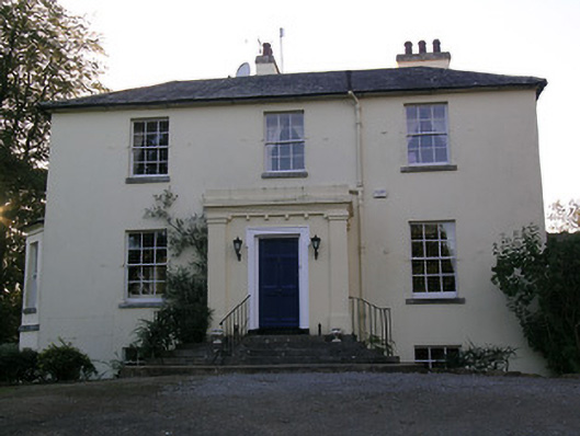 Beechwood Houserectory/glebe/vicarage/curate's house · 931 yd
Other information
Photo: Credit not shown in the picture search · Rights wording not checked; contact us if this picture should be removed