
What is recorded here
On SW-facing slope of hillock in undulating pasture. Not shown on any edition of the OS 6-inch map. Visible as a roughly circular area (diam. c. 18m) on an aerial photograph (GSI R442/1). The NE-SW orientated boundary to the SE of the enclosure as shown on the 1906 edition of the OS 6-inch map has been removed. Not visible at ground level.
Compiled by: Jean Farrelly
Date of upload: 26 August 2011
A local fairy fort (ringfort/rath); wider significance not recorded.
This remains an important historical record, but the official description says the monument is no longer visible or has been destroyed. The monument record does not grant public access. Check the route and ask the landowner before entering private land.
- What survives
- No visible remains or recorded as destroyed
Places near here
 Standing stone in Longstone (cullen Par.)Standing stone · 227 yd
 BarrowBarrow, unclassified · 805 yd
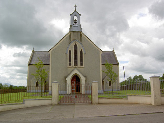 Saint Patrick's Catholic Churchchurch/chapel · 1112 yd
 RathardCastle, ringwork · 1259 yd
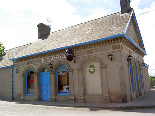 D. Quinlanpublic house · 1293 yd
 Site of Castle LoaghnyCastle, unclassified · 1426 yd
 Oola HillMountain / peak · 2.1 mi
 KnockseefinMountain / peak · 4.5 mi
 St. Patrick's WellSpring · 4.6 mi
 Flat cemetery in Knockainy WestFlat cemetery · 7.4 mi
 St Patrick's WellSpring · 7.4 mi
 Ballinvreena LoopVisitor information · 10 mi
Other information
Photo: Credit not shown in the picture search · Rights wording not checked; contact us if this picture should be removed