
What is recorded here
On flat poorly drained grassland with nearby well (TS058-026----) 125m to W, church (TS058-025----) and graveyard (TS058-025001-) 177m to S, castle (TS058-028----) 97m to NE. Natural spring well now encased by a modern canopy which appears to have been built around a drystone circular well. On the first (1840) edition OS 6-inch map this well was marked as 'Lady's Well' and the well to the W was marked as Patrick's well. These two wells had their names transferred from one to the other on the 1904 edition OS 6-inch map. Several coins deposited at base of well and now used by the local people as a holy well.
Compiled by: Jean Farrelly
Date of upload: 26 August 2011
Linked to St. Patrick, the well is traditionally associated with healing and spiritual purification. Local folklore suggests that the waters were once used in seasonal rituals and for curing ailments, particularly skin conditions and fevers.
The monument record does not grant public access. Check the route and ask the landowner before entering private land.
- What survives
- Recorded monument
Places near here
 Site of Cullen CastleCastle, unclassified · 104 yd
 Patricks WellHoly well · 147 yd
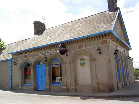 D. Quinlanpublic house · 251 yd
 RathduffCastle, ringwork · 331 yd
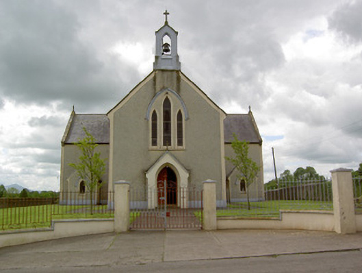 Saint Patrick's Catholic Churchchurch/chapel · 381 yd
 Standing stone in Longstone (cullen Par.)Standing stone · 1261 yd
 Oola HillMountain / peak · 1.5 mi
 ToberagaddySpring · 4.2 mi
 KnockseefinMountain / peak · 5.0 mi
 St Patrick's WellSpring · 8.0 mi
 Flat cemetery in Knockainy WestFlat cemetery · 8.1 mi
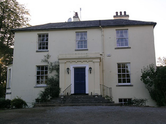 Beechwood Houserectory/glebe/vicarage/curate's house · 811 yd
Other information
Photo: Credit not shown in the picture search · Rights wording not checked; contact us if this picture should be removed