
What is recorded here
On top of a flat-topped hill on the E side of the Dinin river valley, in rolling pasture. There are commanding views in all directions. Carrigan (1905, vol. 3, 458-9) records the tradition that a church, 'Thomple-Vweahal or parish church of Mothell, stood within Mothell rath [KK014-015003-], a great fort near the…
Read the whole record
From the National Monuments Service (Archaeological Survey of Ireland) record KK014-015001
Places near here
Photo credits
- Maker not stated on source page, www.echolive.ie
- Maker not stated on source page, www.pinterest.com
- Maker not stated on source page, www.flickr.com
- Jan-Philipp Litza, Wikimedia Commons · CC BY-SA 4.0
- kevin higgins, Geograph · CC BY-SA 2.0
- A.-K. D., Wikimedia Commons · CC BY-SA 4.0
- Maker not stated on source page, www.ireland-now.com
- A.-K. D., Wikimedia Commons
- Andy Ryan / 1803 Productions, credited by Kilkenny GAA, kilkennygaa.ie
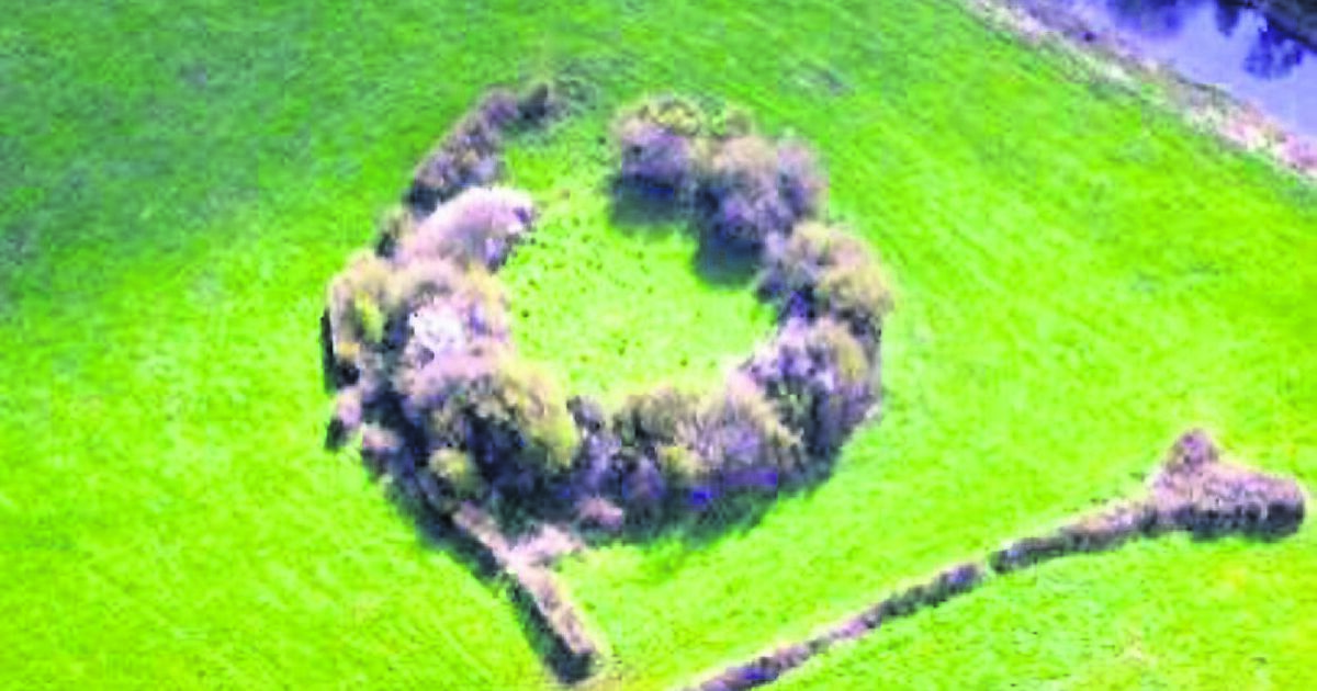 Fairy fort / earthen ringfort in MohilFairy fort / earthen ringfort · 1 yd
Explorer Tom Fairy fort / earthen ringfort in Mohil bragged about surviving a storm that broke every fence nearby. It sits right…
 Graveyard in MohilGraveyard · 1 yd
Explorer Tom Graveyard in Mohil would tell its younger self to stop worrying about being destroyed by Danes because it didn’t happen…
 Fairy fort / ringfort in MohilFairy fort / ringfort · 75 yd
Explorer Tom Fairy fort / ringfort in Mohil nearly made the news when it tripped over its own bank. It’s part of a trio up here…
 Church (in ruins)Church · 264 yd
Explorer Tom Church in Mohil thinks the local sheep have better taste in architecture than any bishop ever did. They just graze on…
 Cave of DunmoreCave · 492 yd
Explorer Tom Cave of Dunmore has an escape plan that involves crawling through a hole so small only a very determined badger could…
 Dunmore CavesCave · 495 yd
Explorer Tom Dunmore Cave is short enough on a map for me to boast I could cross it in a hurry, then deep enough to prove me wrong.…
 New Dinin BridgeBridge · 1137 yd
Explorer Tom Crossing New Dinin Bridge without waving to it triggers a curse that only affects people who don’t wave. Locals swear…
 Trinity WellSpring · 1644 yd
Explorer Tom Trinity Well in County Kilkenny is bubbling up with secret pride over one specific potato it grew last summer. It…
 CastleCastle, unclassified · 1660 yd
Explorer Tom Castle in Esker is the kind of spot Saint Patrick would have sighed at, then left a note about. It’s an old stump…
 Trees in the WoodVisitor information · 1.5 mi
Explorer Tom Trees in the Wood in County Kilkenny is absolutely sick of people asking if there are any wolves hiding behind them.…
 Jenkinstown ParkPark · 1.5 mi
Explorer Tom Jenkinstown Park has doors in its old estate walls, deer near the car park and bluebells that turn the beech wood into…
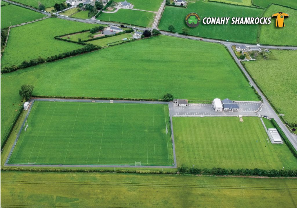 Conahy Shamrocks GAA pitchGAA ground · 1.9 mi
More historic places in County Kilkenny · All of County Kilkenny

What do you know about this place?Tap to add a comment or ask a question