What is recorded here
One ringfort still stands on the flat-topped hill above the Dinin river valley, while two others have been worn into grass and memory. They sit close together in Mulhall’s field, small enough to walk around in minutes yet large enough to command every road, ridge and watercourse below. People may have lived there, watched there or simply kept the boundary between ordinary land and older thought.
On top of a flat-topped hill on the E side of the Dinin river valley, in rolling pasture. There are commanding views in all directions. According to O’Kelly (1969, 44), within Mohil townland there are, ‘two raths and a ringed fort in Mulhall’s field’. Located within this field there is an upstanding ringfort (KK014-015003-) and c. 20m S of this there is a levelled ringfort (KK014-016----). A third enclosure, while levelled, was identified during fieldwork in 1987 as a roughly circular area (diam. c. 20m) of rougher grass c. 25m SW of the upstanding ringfort and c. 25m NW of the levelled ringfort.
Compiled by: Jean Farrelly
Date of upload: 15 June 2020
The monument record does not grant public access. Check the route and ask the landowner before entering private land.
- What survives
- Recorded monument
Places near here
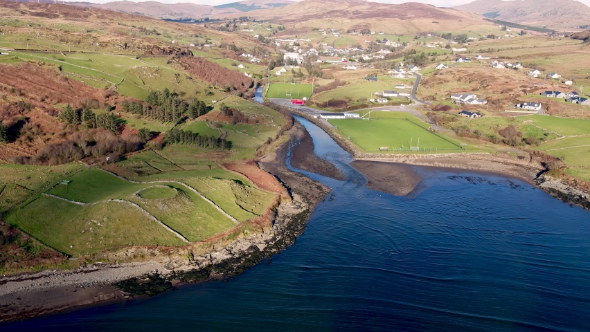 Mohil RingfortArchaeological place · 69 yd
 Mohil GraveyardArchaeological place · 71 yd
 Cave of DunmoreCave · 530 yd
 Dunmore CavesCave · 532 yd
 New Dinin Bridgebridge · 1075 yd
 CastleCastle, tower house · 1077 yd
 Trinity WellSpring · 1574 yd
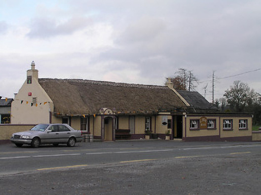 The Cavehouse · 1672 yd
 Galvin'sForest · 1674 yd
 Site of Kilmadum ChurchChurch · 1.1 mi
 Jenkinstown ParkForest · 1.2 mi
 Saint Coleman's WellSpring · 1.4 mi