What is recorded here
A feature that could be a church is marked on Strafford map of c. 1636 in the vicinity of Lisnatea (Simington 1949, Athlone). It was not encountered.
Compiled by: Michael Moore
Date of upload: 24 August 2010
The monument record does not grant public access. Check the route and ask the landowner before entering private land.
- What survives
- Recorded monument
Places near here
 indicatedFairy fort / earthen ringfort · 277 yd
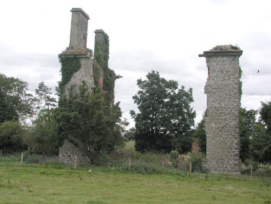 Castlestrangefarmyard complex · 578 yd
 Stone sculptureStone sculpture, aniconic · 701 yd
 CastleHouse, fortified house · 752 yd
 Quarry in Ballinlig (athlone North By., Fuerty Ed)Quarry · 1527 yd
 European YewEuropean Yew · 2.0 mi
 European ashEuropean ash · 2.1 mi
 Sally IslandIslet · 2.1 mi
 Castle KellyCastle, tower house · 3.6 mi
 Mount MaryMountain / peak · 4.6 mi
 Roscommon CastleCastle · 4.9 mi
 Site of Killomaine Grave YardArchaeological place · 8.2 mi