
What is recorded here
On a gentle NE-facing slope, c. 170m from a NW-SE section of the River Suck. Raised circular grass and scrub-covered area (diam. 45.9m N-S; c. 42m E-W) defined by an overgrown earthen bank (Wth 8.3-10.3m; int. H 0.1m at N to 0.95m at S; ext. H 0.9m at E to 1.9m generally) which has been quarried E-SE, separated by a rounded fosse (Wth of top 8.5-12m; Wth of base 2.2-3.2m; D 0.6-1.4m) from an outer bank (Wth 2-3.5m; ext. H 0.1-0.8m). The entrance was not identified, but the outer bank has been removed NNE-ENE (max. ext. diam. 69m E-W).
Compiled by: Michael Moore
Date of upload: 24 August 2010
This remains an important historical record, but the official description says the monument is no longer visible or has been destroyed. The monument record does not grant public access. Check the route and ask the landowner before entering private land.
- What survives
- No visible remains or recorded as destroyed
Places near here
 IndicatedFairy fort / earthen ringfort · 432 yd
 Castlestrangefarmyard complex · 759 yd
 Stone sculptureStone sculpture, aniconic · 943 yd
 Quarry in Ballinlig (athlone North By., Fuerty Ed)Quarry · 1480 yd
 CastleCastle, unclassified · 1730 yd
 European YewEuropean Yew · 1.9 mi
 European ashEuropean ash · 2.0 mi
 Sally IslandIslet · 2.0 mi
 Castle KellyCastle, tower house · 3.6 mi
 Mount MaryMountain / peak · 4.5 mi
 Roscommon CastleCastle · 5.0 mi
 Site of Killomaine Grave YardArchaeological place · 8.1 mi
Other information
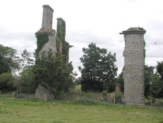
Photo: Credit not shown in the picture search · Rights wording not checked; contact us if this picture should be removed