What is recorded here
Located on a slight W-facing slope and on the S side of an ENE-WSW road and on the W side of a lane running S from this road. There is a local tradition of the former existence of a church that was removed c. 1984. There is no visible remains of a structure, enclosure or burial at ground level in a pasture field.
The above description is derived from the published 'Archaeological Inventory of County Wexford' (Dublin: Stationery Office, 1996). In certain instances the entries have been revised and updated in the light of recent research.
Compiled by: Michael Moore
Date of upload/revision: 20 March, 2013
The monument record does not grant public access. Check the route and ask the landowner before entering private land.
- What survives
- Recorded monument
Places near here
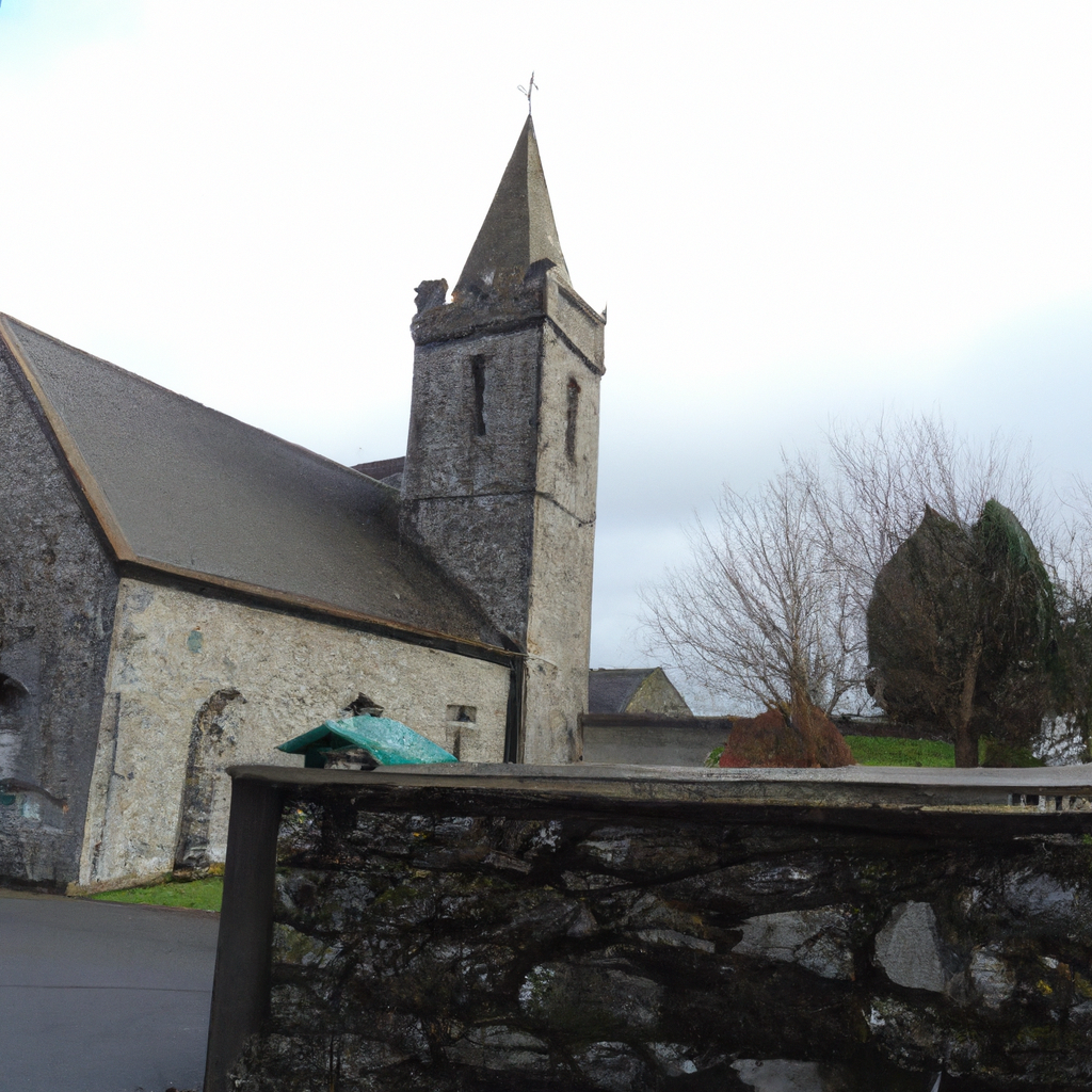 Church in TullycannaChurch · 832 yd
 Springwoodfarm house · 1079 yd
 CastleHouse, fortified house · 1560 yd
 Field system in Hilltown (shelmaliere West By.)Field system · 1701 yd
 Field boundary in Hilltown (shelmaliere West By.)Field boundary · 1.1 mi
 Castle (in ruins)Castle, tower house · 1.2 mi
 Carrig-On-BannowVisitor information · 3.1 mi
 1798 MemorialMemorial · 3.1 mi
 Cullenstown StrandBeach / strand · 4.1 mi
 Ballymadder PointHeadland · 4.7 mi
 Blackhall StrandBeach / strand · 4.9 mi
 Cull IslandIsland · 5.0 mi