
What is recorded here
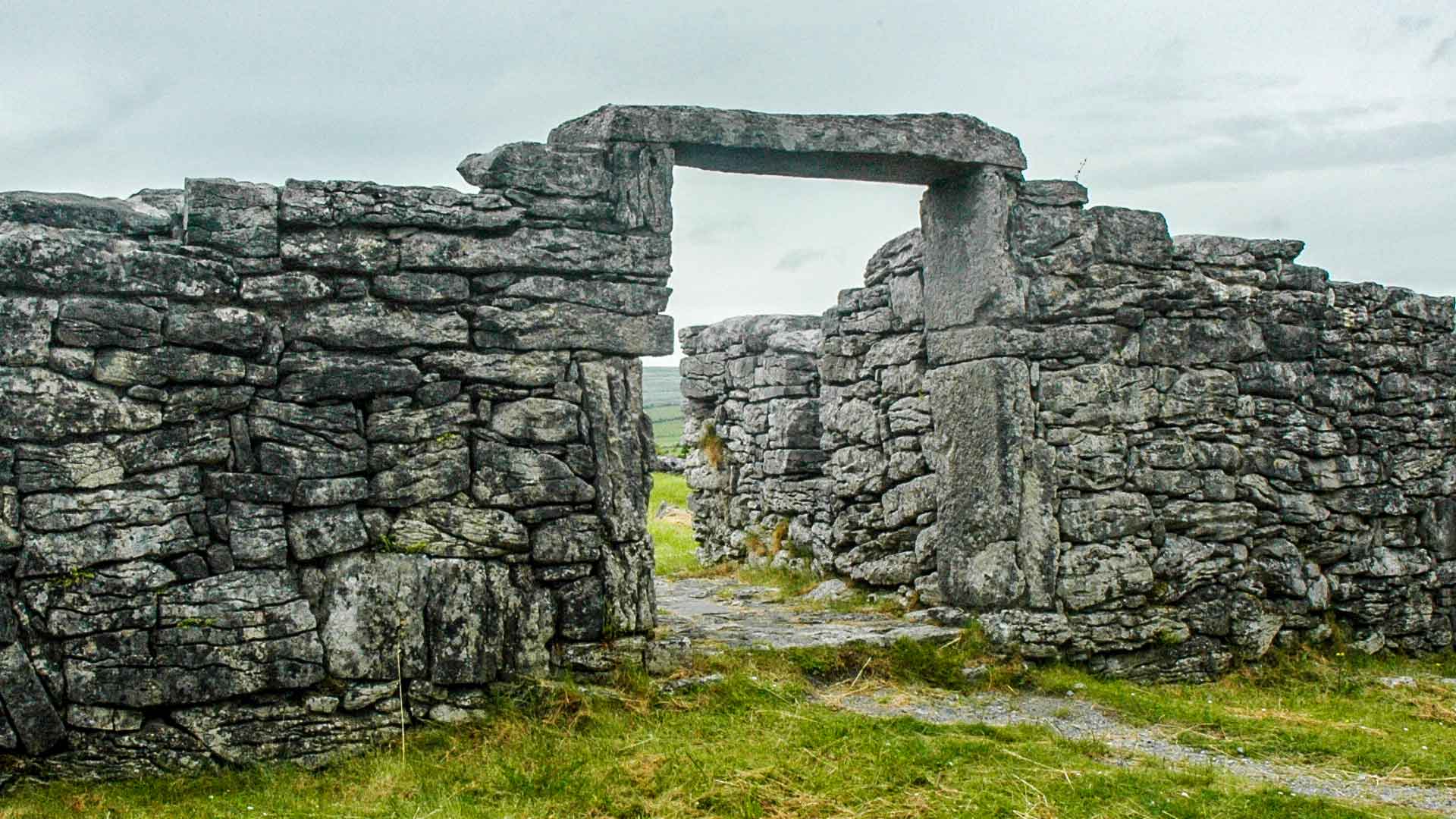
According to local tradition, this is the site of a church which gave Killunagher townland its name. Gwynn & Hadcock (1970, 395) identify Killunagher as the early medieval foundation of ‘Kill-Lunechair -under the patronage of St. Lunecharia.’ The remains consist of a roughly square platform (12.6m NE–SW; 12m NW–SE)…
Read the whole record
From the National Monuments Service (Archaeological Survey of Ireland) record MA093-083001
Places near here
Photo credits
- Maker not stated on source page, monumentalireland.ie
- Maker not stated on source page, storage.googleapis.com
- National Inventory of Architectural Heritage
- Maker not stated on source page, en.wikipedia.org
- GAA (publisher); individual photographer not identified in image caption, www.gaa.ie
- Maker not stated on source page, paganplaces.com
- Golfing in Ireland; photographer not stated, Source publisher
- Maker not stated on source page, commons.wikimedia.org
- Maker not stated on source page, www.pinterest.com
- Maker not stated on source page, www.visitgalway.ie
 Fairy fort / ringfort in DerrynacongFairy fort / ringfort · 1628 yd
Explorer Tom Fairy fort / ringfort in Derrynacong is technically gone but locals swear a giant once sneezed it into existence. He…
 Fairy fort / stone ringfort in CoolnafarnaFairy fort / stone ringfort · 1690 yd
Explorer Tom Fairy fort / stone ringfort in Coolnafarna is sick of being asked if it’s haunted, so it just stares at you blankly.…
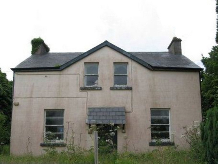 teacher's house1.1 mi
Explorer Tom Teacher's house in Coolnafarna was built for a schoolteacher who definitely had stricter standards than your average…
 Fairy fort / stone ringfort in Cashel (castlereagh By., Ballinlough Ed)Fairy fort / stone ringfort · 1.4 mi
Explorer Tom Fairy fort / stone ringfort in Cashel would write on its dating profile: 'Loves gardening, hates being invisible…
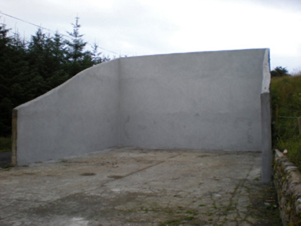 handball alley1.8 mi
Explorer Tom Handball alley in Brackloon East claims the local bishop refused to visit because he was afraid of losing his hat. It…
Fairy fort / stone ringfort in Carrick (castlereagh By.)Fairy fort / stone ringfort · 1.8 miExplorer Tom Fairy fort / stone ringfort in Carrick is oval because someone thought circles were too boring and wanted something…
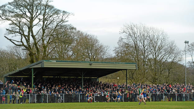 Peadar Earley Memorial Park, Michael Glaveys GAA, BallinloughGAA ground · 2.5 mi
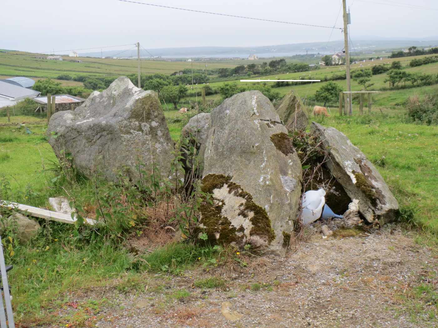 TombTomb, unclassified · 3.2 mi
Explorer Tom Tomb in Friarsground is tucked away in a side room of the church, commissioned by an archbishop who clearly wanted to…
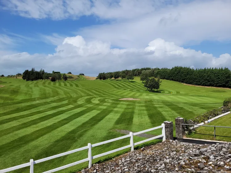 Ballyhaunis Golf ClubGolf course · 3.8 mi
 Graveyard in ChurchparkGraveyard · 5.2 mi
Explorer Tom Graveyard in Churchpark rates every visitor’s outfit from one to ten based on how muddy their boots get. It’s a strict…
 Graveyard in Townparks (2nd Division - Tuam)Graveyard · 19 mi
Explorer Tom Graveyard in Townparks (2nd Division - Tuam) is where the local sheep go to judge your life choices while chewing their…
 Castle in ruinsCastle, unclassified · 21 mi
Explorer Tom Castle in ruins in Claretuam is playing hide-and-seek with me. A tale from 1574 says a Redmund McMoyler McRic owned it…
More historic places in County Mayo · All of County Mayo

What do you know about this place?Tap to add a comment or ask a question