
What is recorded here
From the National Monuments Service (Archaeological Survey of Ireland) record CO110-008
Places near here
Photo credits
- Maker not stated on source page, en.wikipedia.org
- National Inventory of Architectural Heritage
- Golfing in Ireland; photographer not stated, Source publisher
- Maker not stated on source page, www.pinterest.com
 Standing stone in KillountainStanding stone · 723 yd
Explorer Tom Standing stone in Killountain popped out of a field in 1980 and got moved because it was in the way of ploughing, which…
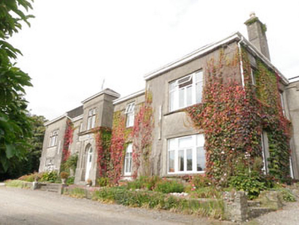 Laragh HouseCountry house · 941 yd
Explorer Tom Laragh House in Laragh is basically a house that kept growing like a tumour, adding bits every century. It’s got an…
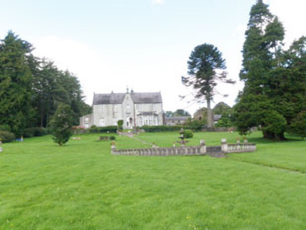 The FarmCountry house · 1081 yd
Explorer Tom The Farm in Curravarahane is a Gothic-Revival country house designed by Joseph Welland around 1820. It has exuberant…
 Mount BernardHouse · 1233 yd
Explorer Tom Mount Bernard has a hipped roof and round-headed door that make it look very classical and proper. Built around 1820…
 Carhoon HouseHouse · 1413 yd
Explorer Tom Carhoon House is a 1780 ghost town situation in Carhoon East. It’s currently disused, which is great if you like…
 Baxter’s BridgeBridge · 1420 yd
Explorer Tom Baxter’s Bridge is straddling the Bandon River with three elegant limestone arches from around 1820. The stonework is…
 Gaggin HouseFarm house · 1524 yd
Explorer Tom Gaggin House in Curravarahane is a simple farmhouse from 1860 that’s currently unoccupied, so it’s probably full of…
 milestone/milepost1.0 mi
Explorer Tom Milestone or milepost in Gaggan is a simple triangular cast-iron marker from around 1890. It’s got embossed…
 Lady Chapel Roman Catholic ChurchChurch/chapel · 1.0 mi
Explorer Tom Lady Chapel Roman Catholic Church is dressed up in stained glass like it’s ready for a wedding. It’s got a bell tower…
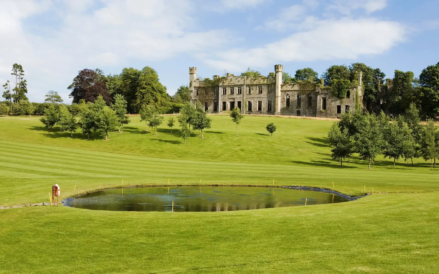 Bandon Golf ClubGolf course · 1.1 mi
 Hare HillHouse · 1.2 mi
Explorer Tom Hare Hill in Knockaveale got burnt down and rebuilt in the 1920s, so it's basically a house with a mid-life crisis. The…
 Anomalous stone group in DerrycoolAnomalous stone group · 1.7 mi
Explorer Tom Anomalous stone group in Derrycool used to be called a cromlech on old maps. Now it's just flat pasture and zero trace.…
More historic places in County Cork · All of County Cork

What do you know about this place?Tap to add a comment or ask a question