What is recorded here
In flat pasture, good views to S and N. Marked 'Cromlech' on O.S. 1st ed. map; no description given in documents of that survey. No visible surface trace.
The above description is derived from the published 'Archaeological Inventory of County Cork. Volume 1: West Cork' (Dublin: Stationery Office, 1992). In certain instances the entries have been revised and updated in the light of recent research.
Date of upload/revision: 14 January 2009
The monument record does not grant public access. Check the route and ask the landowner before entering private land.
- What survives
- Recorded monument
Places near here
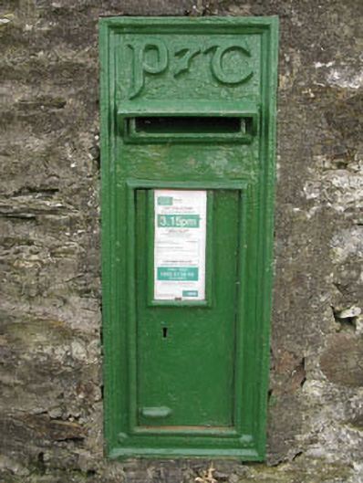 post boxpost box · 742 yd
 Derrycool Housefarm house · 1093 yd
 Burnt mound in MallowgatonBurnt mound · 1760 yd
 IndicatedHoly well · 1.0 mi
 Cottage Road WoodWood · 2.2 mi
 Towers (in Ruins)House, fortified house · 2.9 mi
 Tobar MacloonaboySpring · 2.9 mi
 Mount Pleasant WoodWood · 3.0 mi
 Cathal Hurley MemorialMemorial · 3.7 mi
 Bandon War MemorialMemorial · 4.1 mi
 Green HillMountain / peak · 4.7 mi
 Carbury's WellSpring · 4.8 mi