What is recorded here
On level ground in pasture, within a graveyard (LF009-026002-). In 1562 a lease, including the rectory of 'Killoe in Annale', was granted to William Pieres (Nicholls 1994, vol. 2, 52). Later in 1609 it was leased to Adam Loftus (Cal. pat. rolls Ire., Jas I, 140) and in 1629 Thomas Ferrall was listed as vicar of Killoe church (Morgan 2000, 44). Depicted on the Down Survey (1655-6) map of Killoe parish on glebe land, near the S bank of the Camlin River (NLI, MS 719), and also on an early 17th-century map of Longford barony (BL, Cotton MS Augustus I.ii.24). According to local folklore, 'There was a Catholic Church there one time, but when Cromwell came to this country, the soldiers burned it, and afterwards there was a Protestant church built on the same foundation' (Devaney 1981, 6). No visible surface trace of the medieval church survives. The 19th-century church (C of I) dedicated to St Catherine in the centre of the graveyard may have been built on or close to its site.
Compiled by: Caimin O'Brien
Date of upload: 5 June 2013
The church in Killoe Glebe was likely built in the late medieval period, with documentary evidence from 1562 and 1609 indicating its existence and use. Its wider significance is not recorded, though it was part of a rectory and situated within a graveyard, suggesting a local religious function.
The monument record does not grant public access. Check the route and ask the landowner before entering private land.
- What survives
- Recorded monument
Places near here
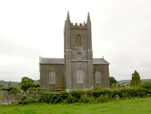 Saint Catherine's Church (Killoe)church/chapel · 1 yd
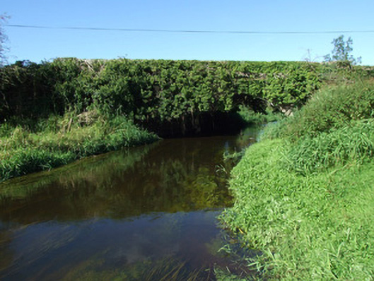 bridgebridge · 364 yd
 Enclosure in Aghaboy (longford By.)Enclosure · 1.5 mi
 CastleCastle, motte · 2.0 mi
 Grave YdGraveyard · 2.2 mi
 Bawn in CurrycahillBawn · 2.3 mi
 Ballinalee Forest WalkForest · 2.4 mi
 Bully's Acregraveyard/cemetery, unknown · 2.5 mi
 Saint Mel's CathedralCathedral · 4.2 mi
 First World War MemorialMemorial · 4.3 mi
 Graveyard in Curry (ardagh By., Coolamber Ed)Graveyard · 6.5 mi
 Granard MotteMotte-and-bailey castle remains · 8.4 mi