What is recorded here
John O'Donovan, writing in 1836 (O'Flanagan 1929, 106; Herity 2012, 403), refers to a church dedicated to St Earcan in the townland of Killarcan, but no trace of it was visible then. Dromhekill, now called Killarcan outside Leitrim village, is depicted as church land (8) on the Down Survey (1656-8) parish map of Kiltahork (Kiiltoghert), for which see this web-page accessed on 24/03/2017: http://downsurvey.tcd.ie/down-survey-maps.php#bm=Leitrim&c=Leitrim&p=Kiltahorke However, a saint called Earcan is not known (Ó Riain 2011), nor is any church site at Killarcan.
Compiled by: Michael Moore
Date of upload: 24 March, 2017
The monument record does not grant public access. Check the route and ask the landowner before entering private land.
- What survives
- Recorded monument
Places near here
 fortsFairy fort / earthen ringfort · 440 yd
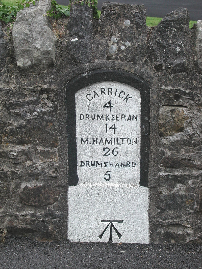 milestone/milepostmilestone/milepost · 1333 yd
 Shannon-Erne WaterwayVisitor information · 1391 yd
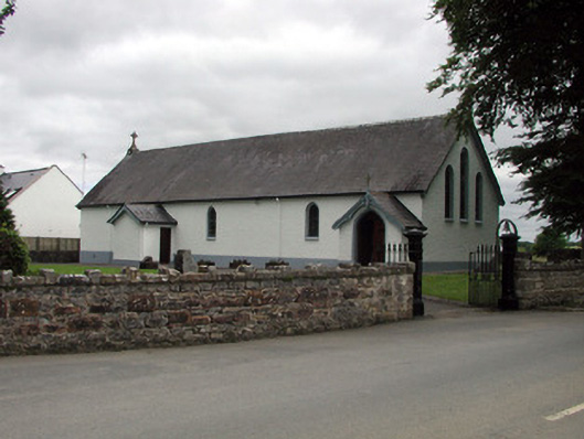 Saint Joseph's Catholic Churchchurch/chapel · 1402 yd
 Sit of Breifny CastleCastle, tower house · 1426 yd
 Enclosure in DrumgeaglomEnclosure · 1607 yd
 Battle of Áth an Chipbattle · 1.2 mi
 Leabaidh DermotCave · 1.2 mi
 InishnagonIsland · 1.6 mi
 Sheemore Ambush MemorialMonument · 1.6 mi
 PortCastle, unclassified · 1.6 mi
 Derreenargan WoodWood · 3.5 mi