What is recorded here
The following description is derived from the published 'Archaeological Inventory of County Carlow' (Dublin: Stationery Office, 1993). In certain instances the entries have been revised and updated in the light of recent research.
Date of revision: 21 December 2009
Revised by: J. Farrelly
Down Survey (1655-6) map records chapel in N part of townland. Ordnance Survey (OSL 1839, 26) recorded tradition that there was formerly a church in this townland, and that a road now runs over the ground occupied by the churchyard (CW0012-019002-).
The monument record does not grant public access. Check the route and ask the landowner before entering private land.
- What survives
- Recorded monument
Places near here
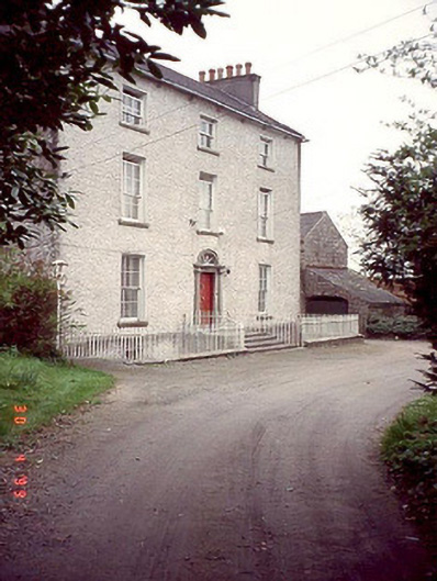 Kyleballyhuehouse · 266 yd
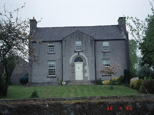 Green Househouse · 1345 yd
 Enclosure in KnockbowerEnclosure · 1486 yd
 Pedunculate OakPedunculate Oak · 1532 yd
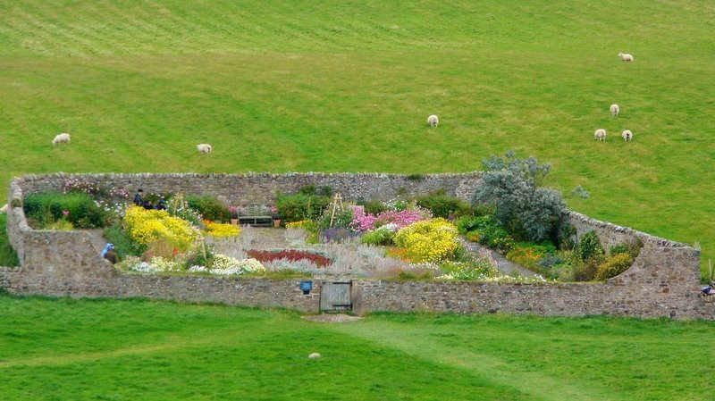 Enclosure in TinrilandEnclosure · 1.0 mi
 Graiguealug Castle in ruinsCastle, unclassified · 1.1 mi
 Site of CastleCastle, unclassified · 1.4 mi
 Kilmurry Church (in ruins), GraveyardChurch · 1.7 mi
 Church (in ruins), GraveyardChurch · 1.8 mi
 Brownshill Portal TombVisitor information · 3.8 mi
 Common LimeCommon Lime · 4.1 mi
 Carlow County MuseumMuseum · 4.5 mi