
What is recorded here
Situated on the crest of a steep NE-facing slope overlooking the NW-SE Dalligan River, with the stream c. 100m to the NE. Described in 1936 as the site of a church and graveyard (NMI file), it may the same location as early church site described by Power (1907, 113). A slight oval mound (dims. 5.5m E-W; 3.5m N-S) may be natural.
Compiled by: Michael Moore
Date of upload: 26th September, 2011.
The monument record does not grant public access. Check the route and ask the landowner before entering private land.
- What survives
- Recorded monument
Places near here
 Ballyvoyle Viaductbridge · 425 yd
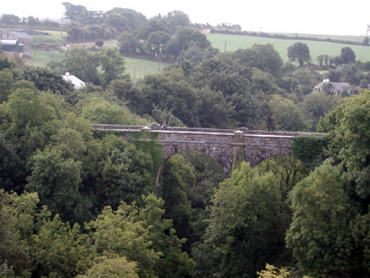 Ballyvoyle New BridgeOfficially recorded historic building · 544 yd
 Burial in BallyvoyleBurial · 585 yd
 BarrowBarrow, mound barrow · 932 yd
 Grange WellSpring · 1.1 mi
 Bawn in Castlequarter (decies Without Drum By., Kilrossanty Par.)Bawn · 1.2 mi
 Site of CastleCastle, unclassified · 1.8 mi
 Clonea StrandBeach / strand · 2.0 mi
 Horse-chestnutHorse-chestnut · 3.3 mi
 Deelish MountainMountain / peak · 3.6 mi
 Tobar Uí GríobtháinSpring · 4.5 mi
 Ceann HeilbhicHeadland · 4.5 mi
Other information
Photo: Credit not shown in the picture search · Rights wording not checked; contact us if this picture should be removed