
What is recorded here
Listed as Kilredan in the ecclesiastical taxation of Elphin in 1306 (Cal. doc. Ire., vol. 5, 224), it may have been a chapel-of-ease to the medieval parish church of Tibohine (RO014-021001-) c. 120 km to the NE. It is situated on a knoll. The only evidence of a church within the D-shaped grass-covered graveyard (dims 58m E-W; 40m N-S) defined by masonry walls is a small stoup (RO020-001003-) (dims 0.42m x 0.42m; H 0.26m). There are grave-markers and headstones from c. 1898 within the graveyard and the site of holy well (RO020-002----) is c. 70-100m to the SW.
Compiled by: Michael Moore
Date of upload: 24 August 2010
The monument record does not grant public access. Check the route and ask the landowner before entering private land.
- What survives
- Recorded monument
Places near here
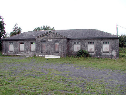 Loughglinn Schoolschool · 1.6 mi
 Catholic Church of Our Lady of Good Counselchurch/chapel · 1.7 mi
 TowerCastle, tower house · 1.7 mi
 St Bridgets WellHoly well · 1.9 mi
 LisheenFairy fort / earthen ringfort · 2.2 mi
 Druminagh WoodForest · 3.5 mi
 Crunaun Castle (in ruins)Castle, unclassified · 4.1 mi
 Clonalis HouseMuseum · 4.5 mi
 Fairymount HillMountain / peak · 5.0 mi
 Coolougher WoodForest · 5.0 mi
 Bawn IslandIslet · 9.3 mi
 Rose PointHeadland · 11 mi
Other information
Photo: Credit not shown in the picture search · Rights wording not checked; contact us if this picture should be removed