What is recorded here
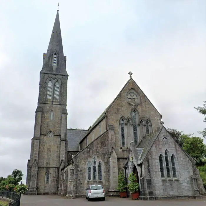
On the W bank of the Inny River, within a graveyard (LF026-019002-). In medieval times this was the parish church of Shrule. In 1542 the rectory was leased to Walter Tirrell of Dublin (Nicholls 1994, vol. 1, 37) and in 1611 it was leased to Robert Nangle of Ballysax, county Kildare (Cal. pat. rolls Ire., Jas I, 208). Recorded by Lewis (1837, vol. 2, 555) as ‘some remains of the ancient parish church at Shruel; the cemetery is still a favourite burial-place'. All that now survives are ivy-clad fragments of a wall in the NW quadrant of the graveyard, which suggest the possible location of the church. Some of the wall fragments have been incorporated into memorial surrounds.
Compiled by: Caimin O'Brien
Date of upload: 4 June 2013
The monument record does not grant public access. Check the route and ask the landowner before entering private land.
- What survives
- Recorded monument
Places near here
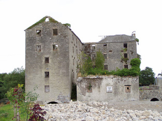 Shrule Millsmill (water) · 193 yd
 Shrule Br.Bridge · 261 yd
 CastleCastle, motte · 1006 yd
 Cultivation ridges in CastlecoreCultivation ridges · 1143 yd
 Enclosure in Rathmore (shrule By.)Enclosure · 1401 yd
 European BeechEuropean Beech · 1655 yd
 OutlinedCastle, unclassified · 1.2 mi
 Noughaval CemeteryArchaeological place · 2.2 mi
 Leveret IslandIslet · 4.1 mi
 Corlea Bog Walk Canal BranchWalking route · 4.3 mi
 Corlea Trackway Interpretative CentreHeritage attraction · 4.4 mi
 Corlea Bog Walk Blue LoopWalking route · 4.8 mi
Other information
Photo: Credit not shown in the picture search · Rights wording not checked; contact us if this picture should be removed