
What is recorded here
No surface remains visible of possible church site recorded at this location in 1985 by the Castleisland District Archaeological Survey who recorded the local tradition that in this field there were up until c. 20 years (c. 1960) the foundations of a building which was believed to be the remains of a church. The old name for this area is 'Cnocán na h-Eaglaise' [Hill of the church]. According to the local landowner the church site was believed to be located to the W of a low rise or hillock in the centre of the field' (SMR file).
Compiled by: Caimin O'Brien
Date of upload: 21 April 2022
A local church or high cross; wider significance not recorded.
The monument record does not grant public access. Check the route and ask the landowner before entering private land.
- What survives
- Recorded monument
Places near here
 Enclosure in GlanshearoonEnclosure · 128 yd
 Burnt spread in GlanshearoonBurnt spread · 841 yd
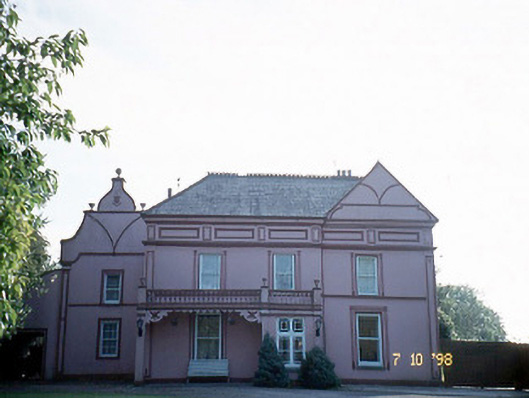 Castleview Housecharter school · 1136 yd
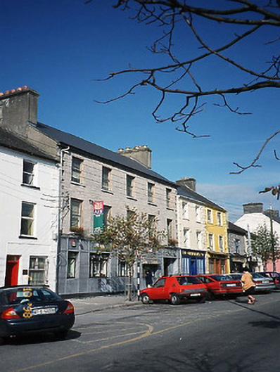 Allied Irish Bankbank/financial institution · 1175 yd
 Crag CaveCave · 1354 yd
 Castle (in ruins)Castle, Anglo-Norman masonry castle · 1553 yd
 Ballymacadam Castle (in ruins)Castle, tower house · 1.6 mi
 SlievebrickanMountain / peak · 4.7 mi
 KnockateeMountain / peak · 5.0 mi
 PouldermotCave · 6.6 mi
 Common AlderCommon Alder · 7.7 mi
 Monument WoodWood · 8.1 mi
Other information
Photo: Credit not shown in the picture search · Rights wording not checked; contact us if this picture should be removed