What is recorded here
On top of a hill with commanding view in all directions overlooking rolling grassland. According to Carrigan (1905, vol. 2, 277-8) the medieval church, dedicated to St. Michael the Archangel, was demolished in the mid-18th century. In c. 1830 a C. of I. church was built at the location. The church is surrounded by a trapezoidal-shaped graveyard (KK008-010002-), in which, according to Carrigan (ibid.) there is a 16th-century graveslab (KK008-010003-) and a late 17-century headstone (KK008-010005-). Moore (1874-9, 38) also mentions another graveslab (KK008-010004-) dating to c. 1660 in the graveyard.
Compiled by: Jean Farrelly
Date of upload: 27 September 2017
The monument record does not grant public access. Check the route and ask the landowner before entering private land.
- What survives
- Recorded monument
Places near here
 Erke Churchchurch/chapel · 6 yd
 IndicatedCastle, ringwork · 87 yd
 Cnoc SeanrathaMemorial · 1166 yd
 Cody's CastleCastle · 1624 yd
 Fortification in Castletown (galmoy By.)Fortification · 1659 yd
 Enclosure in GraigueadrislyEnclosure · 1.0 mi
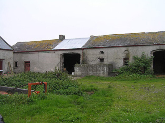 Bayswell Housefarmyard complex · 1.2 mi
 DelaneyMemorial · 3.4 mi
 Street fieldArchaeological place · 3.5 mi
 Clonmeen WoodWood · 4.6 mi
 Tullow HillMountain / peak · 4.6 mi
 Clomantagh HillMountain / peak · 5.2 mi