What is recorded here
Mortons and Cusack's troops marched past Baunballinlough during the Confederate Wars, likely disturbing the old circular enclosure and square platforms still visible in the grassland. The Down Survey later recorded a house, bawn and cabins nearby, suggesting the earthworks remained part of a living settlement rather than abandoned ruin.
In rolling grassland at crest of slope down to valley bottom. The Down Survey map shows a settlement in this area including a house with chimney, a bawn and cabins. During field survey in 1987, various poorly defined earthworks were noted, including a circular enclosure (int. diam. c. 10m) defined by a raised bank, two raised square platforms (max. dims. c. 10m square) and a trackway at the S edge of field. A larger, roughly rectangular enclosure (dims. c. 94m NE-SW; c. 69m WNW-ESE) is visible on Digitglobe imagery (viewed 27 September 2017) c. 50m to the N. This enclosure, the NE bank of which appears to be curving, is defined by a bank. A well (KK008-013----) is located c. 57m W of the S end of the W side of the enclosure.
Compiled by: Jean Farrelly
Date of upload: 27 September 2017
The monument record does not grant public access. Check the route and ask the landowner before entering private land.
- What survives
- Recorded monument
Places near here
 IndicatedHoly well · 157 yd
 Erke Churchchurch/chapel · 1119 yd
 Cnoc SeanrathaMemorial · 1509 yd
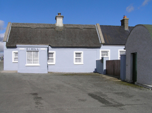 Cahillhouse · 1623 yd
 Enclosure in RathreaghEnclosure · 1646 yd
 Grangefertagh Castle (site)Archaeological place · 1.4 mi
 Cody's CastleCastle · 1.4 mi
 DelaneyMemorial · 2.9 mi
 Street fieldArchaeological place · 3.0 mi
 Clomantagh HillMountain / peak · 4.6 mi
 Clonmeen WoodWood · 5.2 mi
 St. Mary's Famine and War MuseumMuseum · 12 mi