What is recorded here
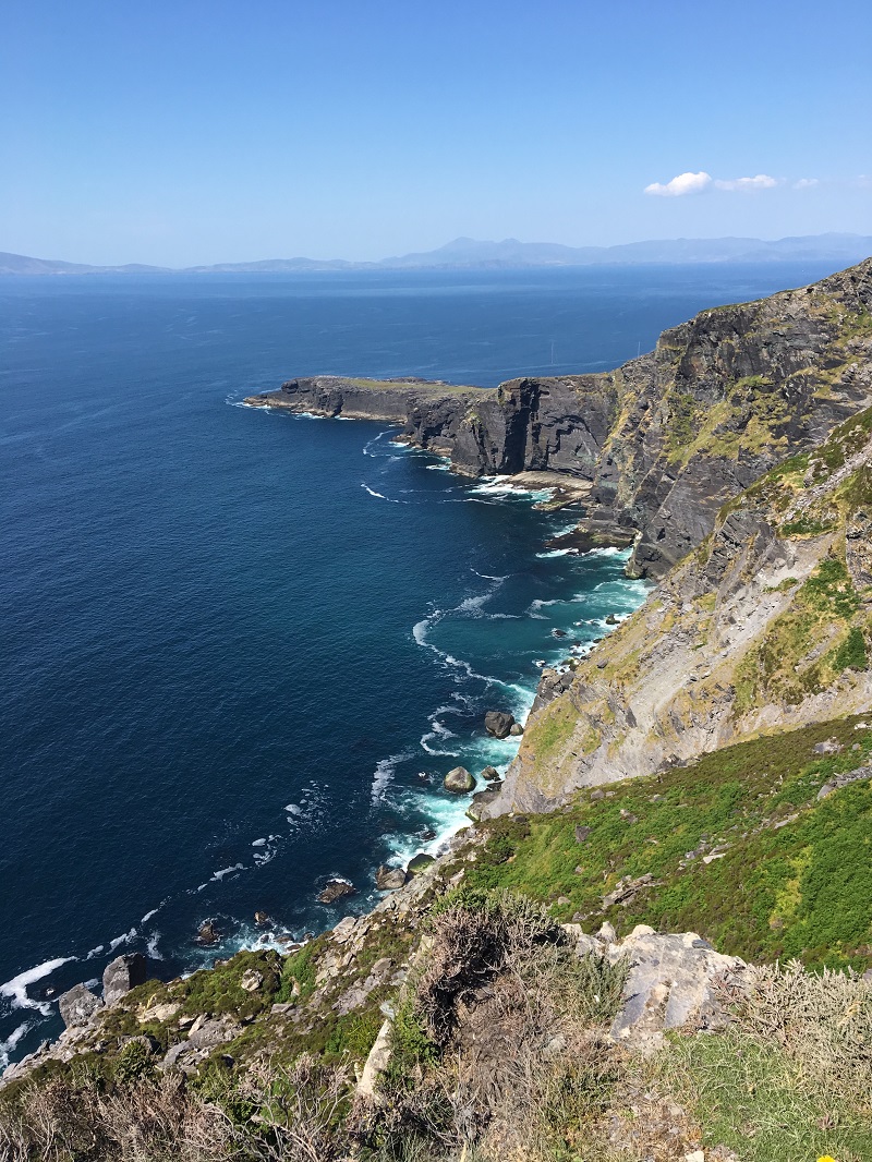
In pasture on N-facing slope overlooking Coulagh Bay. Site of 'M'Kolagh'church, mentioned by Bishop Dive Downes in 1700 (O'Brien 1970, 18), in burial ground (CO114-00301-); O'Shea and Crowley (1972, 50) describe 'what appears to be the foundations of two rectangular buildings at right angles to each other'. No visible surface trace.
The above description is derived from the published 'Archaeological Inventory of County Cork. Volume 1: West Cork' (Dublin: Stationery Office, 1992). In certain instances the entries have been revised and updated in the light of recent research.
Date of upload/revision: 14 January 2009
The church in Coulagh was likely built in the early modern period, possibly on or near the site of an earlier ecclesiastical foundation, and is mentioned in historical records from 1700. It is situated in a burial ground and may have had local significance within the parish structure of the time.
The monument record does not grant public access. Check the route and ask the landowner before entering private land.
- What survives
- Recorded monument
Places near here
 Pallas StrandBeach / strand · 725 yd
 Drehidagaddy BrBridge · 1181 yd
 Tuck MillMill, fulling · 1418 yd
 Man-made underground passage in CoulaghMan-made underground passage · 1418 yd
 Enclosure in Commons West (bear By.)Enclosure · 1470 yd
 Wild Atlantic WayVisitor information · 1583 yd
 The BullIslet · 1709 yd
 Eyeries - Creha Quay LoopWalking route · 1751 yd
 Miskish MountainMountain / peak · 1.1 mi
 CarrigleamoreIslet · 1.2 mi
 Eyeries - Coastguard Station LoopWalking route · 1.3 mi
 TrabaneBeach / strand · 2.4 mi