What is recorded here
Situated on a rise. This is the site of the parish church of Castle Ellis. According to a Visitation by Thomas Ram, the Protestant bishop of Ferns, in 1615 John Hughes was the priest, and the church and chancel were in need of repair (Hore 1900-11, vol. 6, 271). John O'Donovan writing c. 1840 (O'Flanagan 1933, vol. 2, 91 2) records that the old church was pulled down before the erection of the Church of Ireland church that was built after 1813 (Lewis 1837, vol. 1, 296). The visible foundations (ext. dims. 14.2m E-W; 8.1m N-S) of about three courses (T 1m) with an attached tower (ext. dims. 3.4m N-S; 3m E-W) at the W end are those of the 19th century church. The foundations are at the NW angle of a raised rectangular graveyard (dims. c. 60m E-W; c. 34m N-S) defined by masonry walls. There is no evidence of the older church. St John's Well (WX027-013----), a rectangular masonry structure where patterns were held on 24th June in the 19th century (ibid.), is c. 200m to the ESE.
The above description is derived from the published 'Archaeological Inventory of County Wexford' (Dublin: Stationery Office, 1996). In certain instances the entries have been revised and updated in the light of recent research.
Compiled by: Michael Moore
Date of upload/revision: 17 July 2012
Amended: 4 Sep. 2013
The monument record does not grant public access. Check the route and ask the landowner before entering private land.
- What survives
- Recorded monument
Places near here
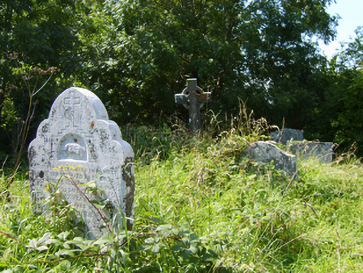 Castle-Ellis Church (Castle-Ellis)graveyard/cemetery · 10 yd
 1798 MonumentMemorial · 61 yd
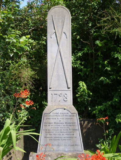 monumentmonument · 66 yd
 St. Johns WellHoly well · 246 yd
 IndicatedEnclosure · 782 yd
 Ballingowan MoteCastle, motte · 2.0 mi
 1916 MemorialMemorial · 2.2 mi
 Battle of Oulart Hill signVisitor information · 2.7 mi
 Oulart HillMountain / peak · 3.1 mi
 71Mountain / peak · 3.1 mi
 Embanked enclosureCastle, motte · 3.7 mi
 Blackwater Coastal Erosion Monitoring PointViewpoint · 3.9 mi