
What is recorded here
Abutting the external face of the enclosure at NE, and .65m below the level of its interior, are the foundations of a rectangular structure, possibly an oratory (KE098-049002-), which measure 5.35m ENE-WSW x 2.85m NNW-SSE internally. The walls, of drystone construction, survive only one to two courses high and average .65m thick. The W end of the building merges with the enclosing element of the site. No entrance feature is apparent.
The above description is derived from A. O'Sullivan and J. Sheehan (compilers), 'The Iveragh peninsula: an archaeological survey of South Kerry'. Cork University Press (1996), no. 930. In certain instances the entries have been revised and updated in the light of recent research.
Date of upload: 30 July 2013
A local church or high cross; wider significance not recorded.
The monument record does not grant public access. Check the route and ask the landowner before entering private land.
- What survives
- Recorded monument
Places near here
 Enclosure in BaslickaneEnclosure · 44 yd
 IndicatedFairy fort / earthen ringfort · 351 yd
 Templenakilla (in Ruins)Church · 440 yd
 CastleCastle, tower house · 1072 yd
 Waterville PromenadeWalking route · 1.0 mi
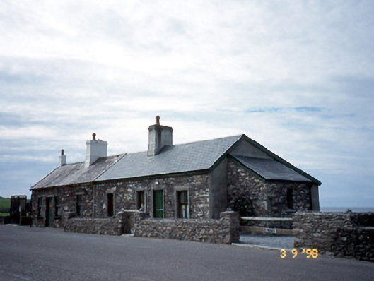 coastguard stationcoastguard station · 1.1 mi
 T. C. Millerick MemorialMemorial · 1.1 mi
 Butler MemorialMemorial · 1.2 mi
 Farraniaragh MountainMountain / peak · 2.0 mi
 An Bheann MhórMountain / peak · 2.2 mi
 Com An ChisteViewpoint · 2.4 mi
 Inny StrandBeach / strand · 2.7 mi
Other information
Photo: Credit not shown in the picture search · Rights wording not checked; contact us if this picture should be removed