What is recorded here
The ground level rises sharply at the centre of the enclosed area and might indicate the remains of the foundations of a church. Large boulder set on edge n centre of graveyard may be remains of a portion of a possible N wall belonging to a levelled church that was situated in the centre of graveyard. No evidence of bullaun (OF018-017003-) stone. No early graveslabs visible. Poorly preserved low square shaped motte (OF018-017005-) located in the N sector of Annagharvey graveyard (OF018-007001-). This record for graveslabs was based on the ITS survey reference to old gravestones which are of post-1700 AD date.
The above description is derived from the published 'Archaeological Inventory of County Offaly' (Dublin: Stationery Office, 1997). In certain instances the entries have been revised and updated in the light of recent research.
Date of upload: 23 May 2011
The monument record does not grant public access. Check the route and ask the landowner before entering private land.
- What survives
- Recorded monument
Places near here
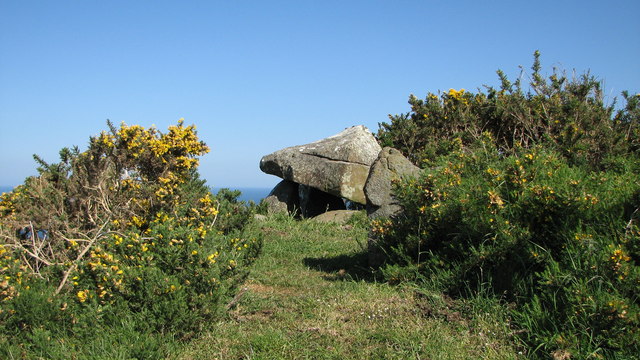 Annagharvey Grave YardGraveyard · 25 yd
 CastleCastle, motte · 36 yd
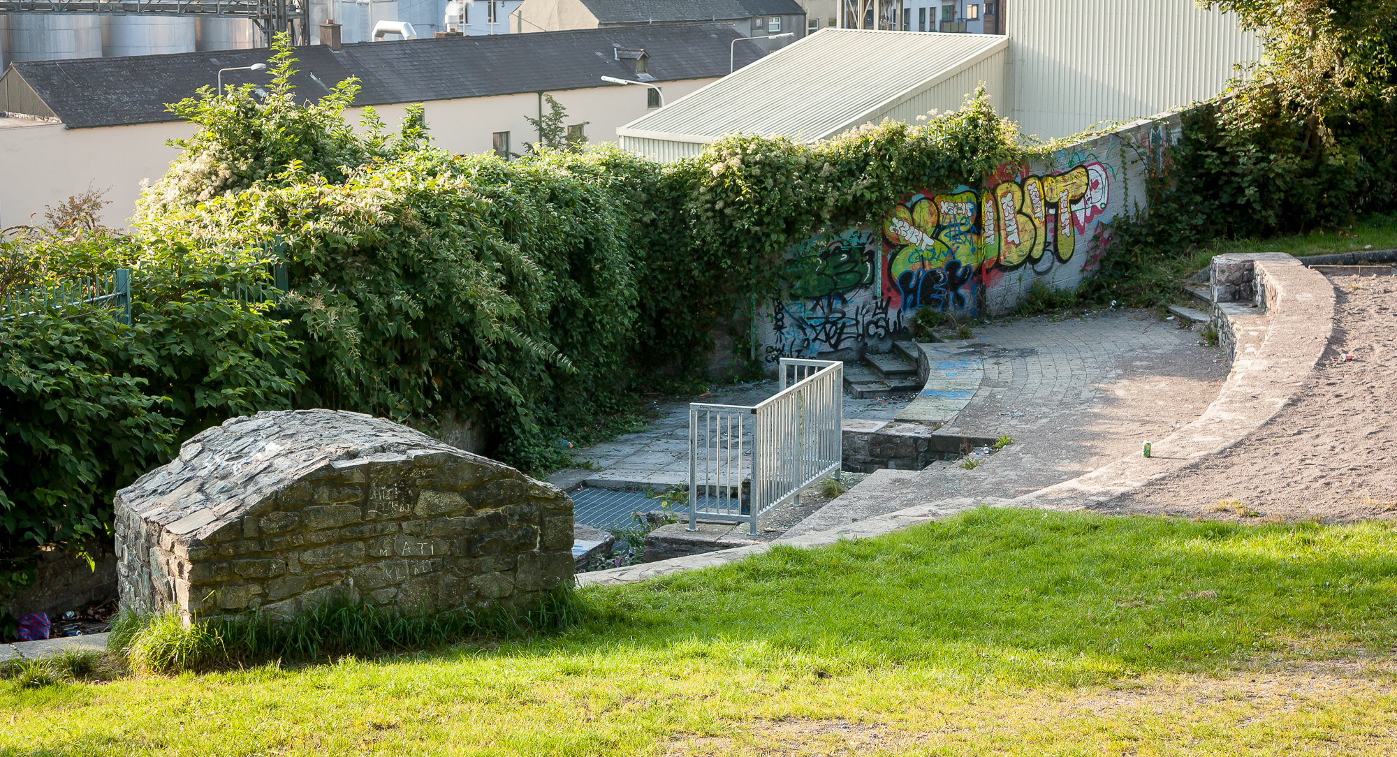 Ladys WellHoly well · 957 yd
 Lady's WellSpring · 970 yd
 Children's WellSpring · 1027 yd
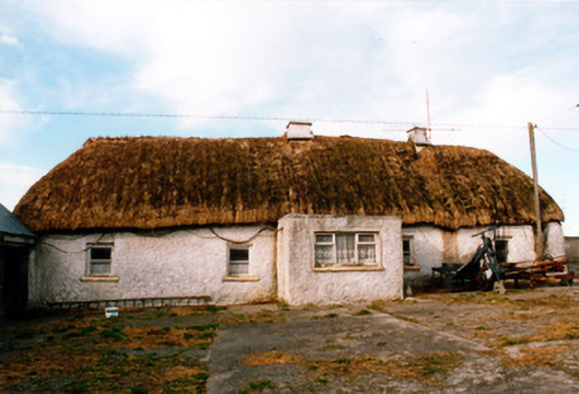 farm housefarm house · 1621 yd
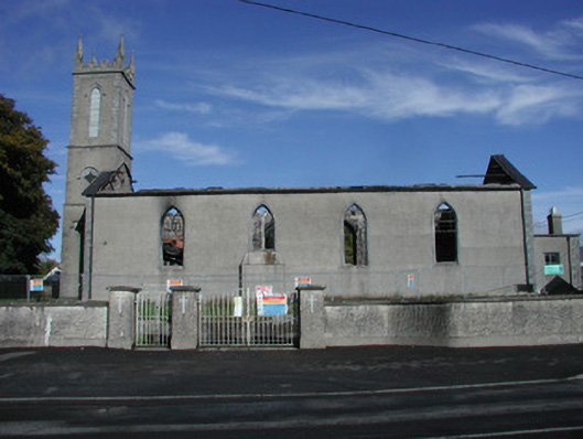 Saint Joseph's Catholic Churchchurch/chapel · 1.5 mi
 Castle in ruinsCastle, unclassified · 2.1 mi
 Furzehill WoodWood · 2.1 mi
 Geashill Glebe WalkVisitor information · 2.5 mi
 Father BurbageMemorial · 2.6 mi
 Church (in Ruins), GraveyardChurch · 4.3 mi