What is recorded here
The cropmark of a large circular enclosure (approx. diam. 100m N-S) is visible on Digital Globe aerial photographs with small quarry cutting into NNW quadrant of enclosure. The large size of the enclosure may suggest the remains of an ecclesiastical enclosure.
Compiled by: Frank Coyne & Caimin O'Brien
Date of upload: 22 December 2016
The monument record does not grant public access. Check the route and ask the landowner before entering private land.
- What survives
- Recorded monument
Places near here
 Field system in BallymanusField system · 243 yd
 Hut site in BallymanusHut site · 265 yd
 Ballycomoyle National Schoolschool · 771 yd
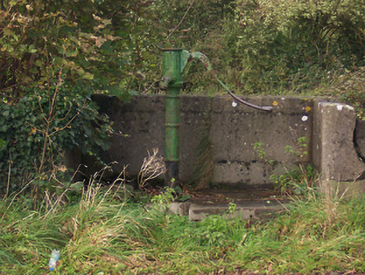 water pumpwater pump · 923 yd
 Hilltown Castle (in ruins)Castle, tower house · 1729 yd
 Hachured, dotted outlineCastle, motte and bailey · 1.4 mi
 Mullaghmeen ForestPicnic place · 1.6 mi
 Mullaghmeen Red WalkWalking route · 2.0 mi
 Rock of CurryCliff · 2.1 mi
 European ashEuropean ash · 2.6 mi
 Silver FirSilver Fir · 3.3 mi
 Seafin HillMountain / peak · 4.5 mi