What is recorded here
From the Irish Caves Database, University of Bristol Spelæological Society record 1503
Places near here
Photo credits
- Maker not stated on source page, en.wikipedia.org
- Maker not stated on source page, www.ireland.com
- Maker not stated on source page, www.jamesatruett.com
- Gordon Hatton, Wikimedia Commons · CC BY-SA 2.0
- Maker not stated on source page, www.dreamstime.com
- Roger Diel, Wikimedia Commons · CC BY-SA 2.0
- National Inventory of Architectural Heritage
- N Chadwick, Geograph · CC BY-SA 2.0
- Colin Park, Geograph · CC BY-SA 2.0
- Neil Theasby, commons.wikimedia.org
- Gordon Hatton, Geograph · CC BY-SA 2.0
 Fairy fort / stone ringfort in BerneensFairy fort / stone ringfort · 499 yd
Explorer Tom Fairy fort / stone ringfort in Berneens would describe itself to a stranger as 'a subrectangular enclosure with…
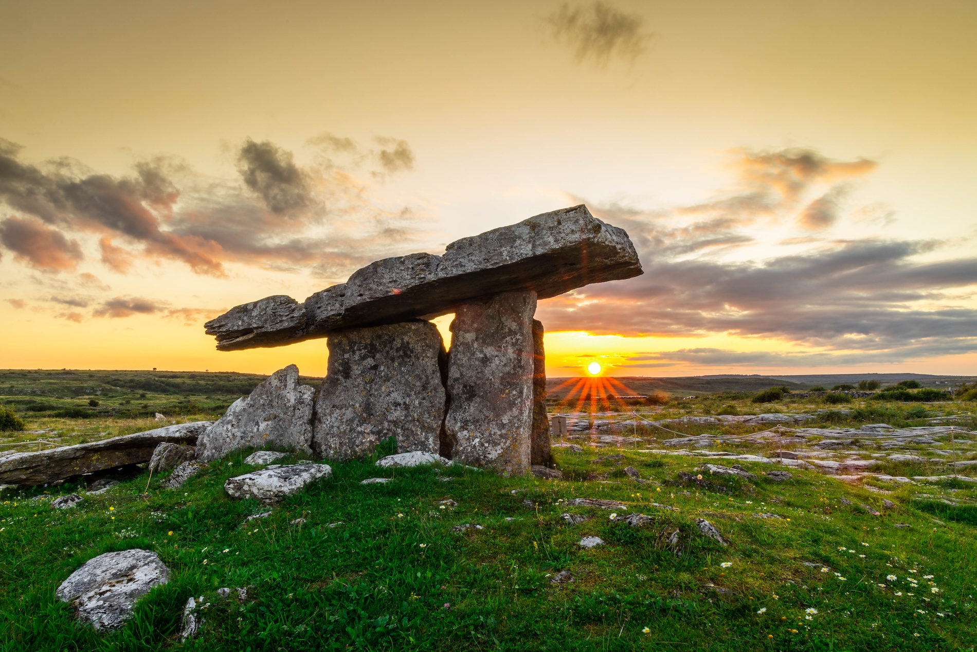 Megalithic tomb in PoulnabruckyMegalithic tomb · 603 yd
Explorer Tom Megalithic tomb in Poulnabrucky thinks tourists from Dublin are just noisy insects who think they’re very important…
 Graveyard in CahermacnaghtenGraveyard · 1.6 mi
Explorer Tom Graveyard in Cahermacnaghten bragged about surviving a storm that wasn’t even on the radar. It’s mentioned in a 1606…
 Cahermacnaghten CashelHeritage attraction · 1.6 mi
Explorer Tom Cahermacnaghten Cashel sits in a Clare farming field where the Burren appears to have left its stones lying about for a…
 Church (in ruins)School · 2.2 mi
Explorer Tom Church in Cahermacnaghten was originally a medieval house, which means it switched careers after retirement. The…
 Caherminnaun Castle (in ruins)Castle, unclassified · 4.7 mi
Explorer Tom Caherminnaun Castle is basically a heap of rubbish that thinks it's a monument. O’Curry said it was 'a heap of ruins'…
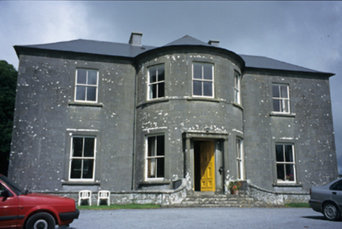 Ballykeel HouseCountry house · 4.8 mi
Explorer Tom Ballykeel House in Ballykeel South is a c. 1800 country house with a bowed central section that looks like it’s trying…
 High CrossHeritage attraction · 5.1 mi
Explorer Tom This High Cross had a moment where a fox took charge of the whole site, sitting on top of it looking like a tiny…
 Burren Centre KilfenoraVisitor information · 5.1 mi
Explorer Tom The Burren Centre in Kilfenora is a sensible first stop before trying to make sense of north Clare's limestone hills. I…
 Kilfenora GAA pitchGAA ground · 5.2 mi
 Graveyard in KilcarraghGraveyard · 5.3 mi
Explorer Tom Graveyard in Kilcarragh only has one stone, so if you drop your phone there, that’s officially it for the whole place.…
 Smithstown Castle (in ruins)Castle, tower house · 6.4 mi
Explorer Tom Smithstown Castle on a rocky outcrop is officially gone, but I swear it’s just napping. It thinks Dublin tourists are…
More caves in County Clare · All of County Clare

What do you know about this place?Tap to add a comment or ask a question