What is recorded here
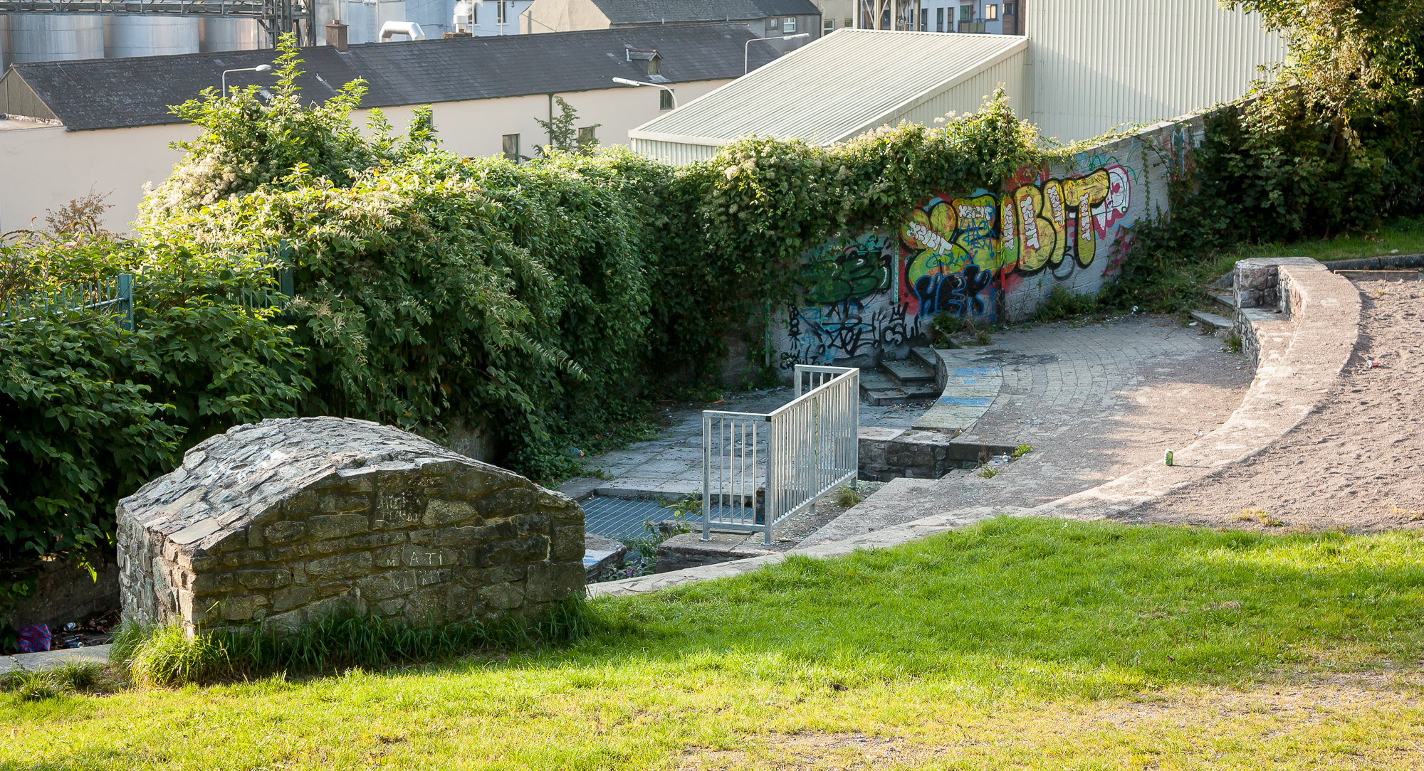
Four holy wells situated at side of stream now all filled in and mostly dried-up. Some water flowing out of St. John's well. All four holy wells are now destroyed with only a hawthorn bush marking the location of each individual well located beside a stream. One of a group of 4 holy wells (OF018-014/004-) marked on the OS 6-inch map as 'Scurvy Well', 'Children's Well', 'St. John's Well' and 'Lady's Well'.
The above description is derived from the published 'Archaeological Inventory of County Offaly' (Dublin: Stationery Office, 1997). In certain instances the entries have been revised and updated in the light of recent research.
Date of upload: 23 May 2011
Linked to St. John, this well was likely associated with healing and purification rituals, common in early Christian traditions. The remaining hawthorn bushes may symbolize protection and are often connected to sacred or liminal sites in Irish folklore.
This remains an important historical record, but the official description says the monument is no longer visible or has been destroyed. The monument record does not grant public access. Check the route and ask the landowner before entering private land.
- What survives
- No visible remains or recorded as destroyed
Places near here
 Children's WellSpring · 12 yd
 Scurvy WellHoly well · 20 yd
 Lady's WellSpring · 49 yd
 Ladys WellHoly well · 63 yd
 CastleCastle, motte · 983 yd
 bridgebridge · 1589 yd
 21st Locklock · 1589 yd
 Graveyard in BallycommonGraveyard · 1.7 mi
 Castle in ruinsCastle, unclassified · 2.6 mi
 Furzehill WoodWood · 2.6 mi
 Geashill Glebe WalkVisitor information · 2.9 mi
 Father BurbageMemorial · 2.9 mi