What is recorded here
Within the N half of the site of a rath (GA117-020----). Marked on the 1947 edition of the OS 6-inch map (1947) as an unenclosed oval area (c. 25m E-W; c. 20m N-S). On inspection a dense concentration of nettle and thistle growth marked the site. No grave-markers were evident.
Compiled by: Galway Archaeological Survey, UCG
Date of upload: 29 August 2019
The monument record does not grant public access. Check the route and ask the landowner before entering private land.
- What survives
- Recorded monument
Places near here
 IndicatedEnclosure · 973 yd
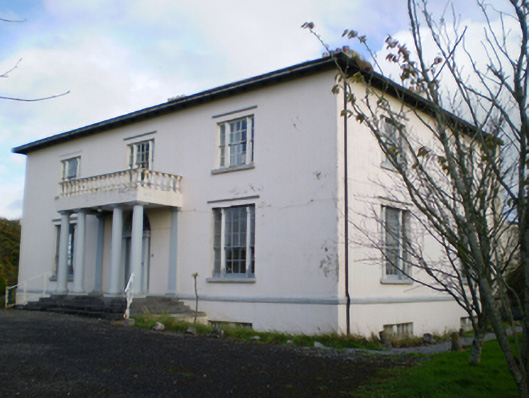 Hearnesbrookcountry house · 1063 yd
 Hearnesbrooke Bridgebridge · 1530 yd
 ‘St. Imor’s Holy Well’Holy well · 1586 yd
 Site of CastleCastle, unclassified · 1.8 mi
 Quarryhill WoodWood · 2.7 mi
 Knockaunnageeragh Castle in ruinsCastle, unclassified · 2.8 mi
 Bog WoodForest · 2.8 mi
 Church HillMountain / peak · 3.6 mi
 Portumna Castlegate lodge · 6.4 mi
 Redmond HillMountain / peak · 8.5 mi
 The bloody HollowHeritage attraction · 9.2 mi