What is recorded here
Children's Grave Yard, now a disused burial ground in County Cork, marks a lost corner where small bodies may have rested beside an early church. The earth still holds a low D-shaped bank, unmarked but unbroken, guarding what maps and memory have forgotten.
In pasture, on gentle S-facing slope, partly within early ecclesiastical enclosure (13884). Indicated on 1842 OS 6-inch map as arc (C c. 70m) NE->S, enclosing NW corner of field and named 'Children's Grave Yard'; indicated as larger subrectangular enclosure on 1905 and 1936 OS 6-inch maps, with field boundaries forming W and part of N side. Roughly D-shaped enclosure (straight side c. 57m E-W; projecting c. 30m to N) defined by low earthen bank (int. H 0.4m; ext. H 0.7m) SW->E, by linear N-S earthen bank which forms remainder of E side, by low linear earthen bank (L 57m) on S side. W end of S side continues beyond enclosure for short distance, stops short of W field boundary and turns N to form linear bank (H 0.25m) parallel to field boundary; bank fades out before joining N field boundary. No grave markers noted. Arc, SW->E forms part of enclosing element of early ecclesiastical enclosure. Bullaun stone (13918) on bank to NE; second bullaun stone (13919) on linear S bank. Corner of field, practically cut off from remainder by enclosure, area formed by both indicated as burial ground on 1905 and 1936 OS 6-inch maps.
The above description is derived from the published 'Archaeological Inventory of County Cork. Volume 4: North Cork' (Dublin: Stationery Office, 2000). In certain instances the entries have been revised and updated in the light of recent research.
Date of upload/revision: 14 January 2009
The monument record does not grant public access. Check the route and ask the landowner before entering private land.
- What survives
- Recorded monument
Places near here
 Ecclesiastical enclosure in KilmacullaEcclesiastical enclosure · 1 yd
 IndicatedFairy fort / earthen ringfort · 1158 yd
 farmyard complexfarmyard complex · 1352 yd
 Castletown Castle (Site of)Castle, unclassified · 1423 yd
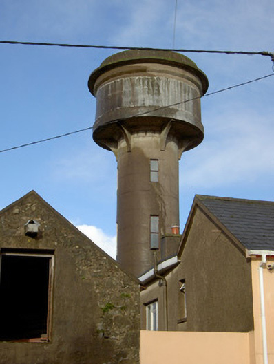 water towerwater tower · 1541 yd
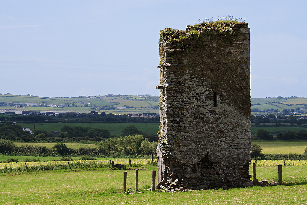 Farahy Castle (in Ruins)Castle, unclassified · 1554 yd
 North Meadow WoodForest · 1.1 mi
 Horse Field WoodForest · 1.3 mi
 Flat cemetery in Ballyenahan NorthFlat cemetery · 2.0 mi
 CarrigeenamronetyMountain / peak · 2.7 mi
 Coolfree MountainMountain / peak · 3.2 mi
 ToberpatrickSpring · 4.1 mi