What is recorded here
Ash trees bend over a narrow rectangle of limestone boulders in County Galway, marking a children's burial ground inside an older ecclesiastical enclosure. Crude grave-markers still stand amid field rubble, small enough that each life may have fit within the reach of a guardian's hand. The gap in the northern stone line suggests an entrance used repeatedly, not a boundary built to keep people out.
Centrally placed within a probable early ecclesiastical enclosure (GA029-013001-). Marked on 3rd ed. of OS 6-inch map (1932) as an enclosed rectangular area (c. 12m by c. 5m), its long axis running E-W, with a gap midway along N side. What is visible is a rectangular area (NW-SE 6.8m, NE-SW 5.2m) delimited by a single row of limestone boulders. Within the interior are crudely shaped grave-markers, some of which are partially obscured by field-clearance rubble. Mature ash trees are growing at N and S limits.
The above description is derived from the published 'Archaeological Inventory of County Galway Vol. II - North Galway'. Compiled by Olive Alcock, Kathy de hÓra and Paul Gosling (Dublin: Stationery Office, 1999).
Date of upload: 05 August 2010
Early medieval Christian burial ground, likely 7th to 10th century. Its association with an ecclesiastical enclosure suggests a local place of worship and burial, reflecting the spread of Christianity in rural Ireland during the early medieval period.
The monument record does not grant public access. Check the route and ask the landowner before entering private land.
- What survives
- Recorded monument
Places near here
 Caltragh FortEcclesiastical enclosure · 10 yd
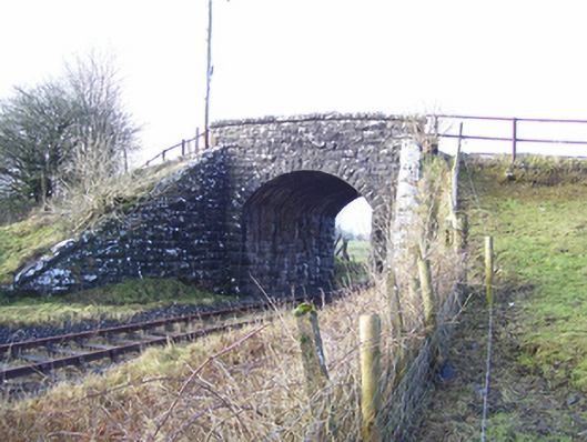 Varley's Bridgebridge · 1622 yd
 CrossCross · 1.1 mi
 Mass RockNamed rock · 1.1 mi
 European ashEuropean ash · 1.3 mi
 Church in ruinsChurch · 1.4 mi
 CastleCastle, tower house · 2.0 mi
 Fartamore Castle in ruinsCastle, tower house · 2.4 mi
 KnockmaaWood · 4.6 mi
 Kilcoona Round TowerHeritage attraction · 8.2 mi
 Ballinduff BayBay · 11 mi
 Walsh's IslandIslet · 12 mi