What is recorded here
On slight rise of rock outcrop with good views in all directions. Depicted as a sub-rectangular shaped area that is annotated as ‘Old Burial Ground’ on the 1818 Boyd Belvedere Maps (WCL/M/BBE/10). Present remains consist of an area of rock outcrop with some loose stones lying scattered around the surface of the ground that is enclosed by a low earth and stone bank. Sections of the natural rock outcrop appears to have been scarped and some of the loose stones appear to represent some modification of the natural rock outcrop. Area of burial ground is visible on 2005 OSI aerial photos and on Bing Maps aerial photograph taken between 06/07 November 2011.
May be the remains of a children's burial ground described in 1937 as following; 'In a place called Rahan [Raheen], about one mile north of Moyvoughly, is a small, rocky, track of land called "Dun na leanb", and it is said to have been once used as a burial place for unbaptized infants. As far as can be remembered the last corpse was laid there about the year 1880. All that is now to be seen, are some craggy stones which were probably used as head-stones' (The Schools’ Collection, Volume 0745, Page 115).
Compiled and revised by: Caimin O’Brien
Date of revised upload: 25 April 2019
The monument record does not grant public access. Check the route and ask the landowner before entering private land.
- What survives
- Recorded monument
Places near here
 gates/railings/wallsgates/railings/walls · 358 yd
 OutlinedEnclosure, large enclosure · 526 yd
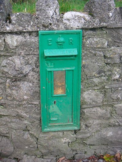 post boxpost box · 1276 yd
 Partially hachuredFairy fort / earthen ringfort · 1753 yd
 CastleCastle, unclassified · 1.1 mi
 Japanese pagoda treeJapanese pagoda tree · 1.8 mi
 Bawn in ClareBawn · 1.9 mi
 KnockastiaMountain / peak · 2.2 mi
 Dún na Sí Heritage CentreMuseum · 4.3 mi
 Dún na SíMuseum · 4.4 mi
 Charles BianconiMemorial · 4.4 mi
 Moate HillMountain / peak · 4.5 mi